- Dzoraget River
Infobox_River
river_name = Dzoraget
Ձորագետ

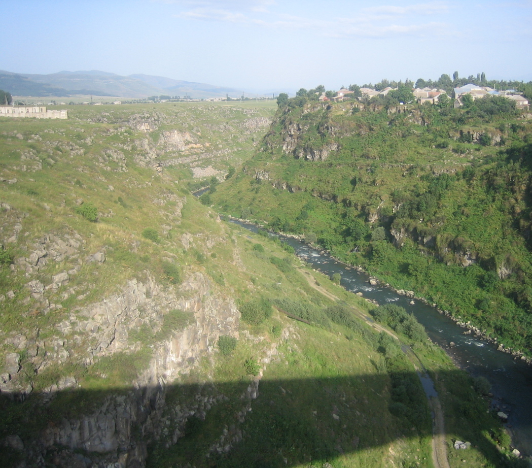
caption = The Dzoraget River as seen from the bridge inStepanavan
origin =Bazum Mountains ,Lori ,Armenia
mouth =Debed River Near Dzoragyukh
basin_countries =Armenia
length =
elevation = 2,200 m
mouth_elevation = 920 m
discharge =
watershed = Debeda hydrological regionThe Dzoraget ( _hy. Ձորագետ) is a river in the
Debeda hydrological region in the Lori region in NorthernArmenia . It originates in theBazum Mountains and flows west to east through spectacular gorges aroundStepanavan . It finally feeds into theDebed river near Dzoragyukh, which ultimately drains to theKura river ."Dzoraget" is a compound word in Armenian meaning "Gorge-river" and formed with the
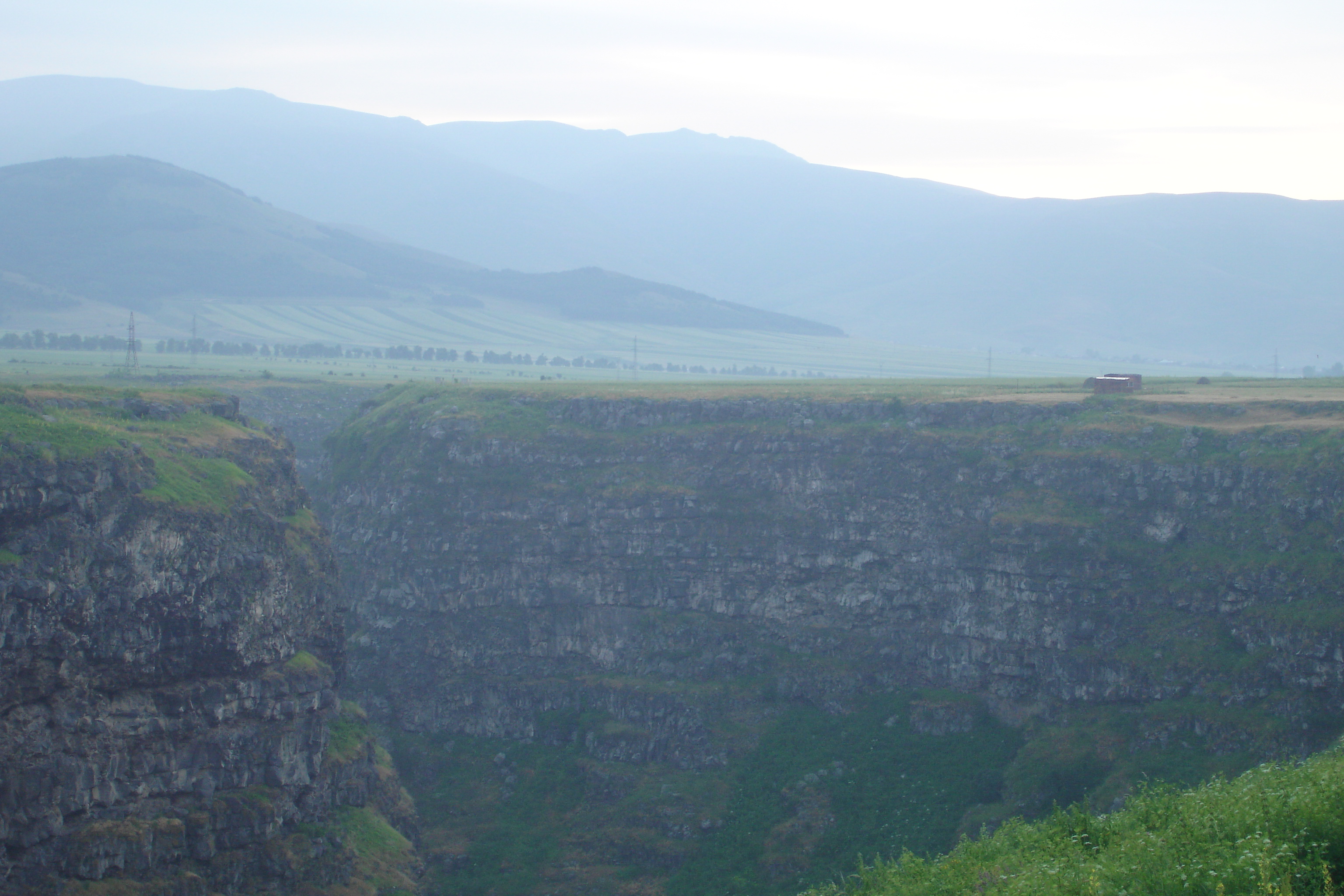
lexemes ձոր ( [dzoɾ] , meaning 'gorge') and գետ ( [getʰ] , meaning 'river') being joined by the agglutinating infix ա ( [ɑ] ).The gorge in certain places (e.g. at
Kurtan ) is over 200 meters in depth.Towns and villages
Towns and villages along the river include:
Stepanavan ,Amrakits ,Lori Berd , Agarak,Vardablur ,Kurtan ,Arevatsag , and Dzoragyukh.Gallery
Dzoraget_Canyon.Image:Rivers_of_Armenia.jpeg|Dzoraget_river_and_its_basin_(light_green)_within_Armenia.ee also
*
Rivers and lakes in Armenia
*Geography of Armenia
Wikimedia Foundation. 2010.

