- Chiaramonti
-
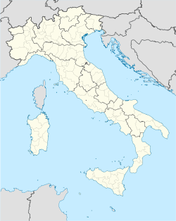
Chiaramonti
Tzaramònte, Chjaramònti— Comune — Comune di Chiaramonti Location of Chiaramonti in Italy Coordinates: 40°45′N 8°49′E / 40.75°N 8.817°ECoordinates: 40°45′N 8°49′E / 40.75°N 8.817°E Country Italy Region Sardinia Province Province of Sassari (SS) Area - Total 98.7 km2 (38.1 sq mi) Elevation 400 m (1,312 ft) Population (Dec. 2004) - Total 1,849 - Density 18.7/km2 (48.5/sq mi) Demonym Chiaramontesi Time zone CET (UTC+1) - Summer (DST) CEST (UTC+2) Postal code 07030 Dialing code 079 Website Official website Chiaramonti (Gallurese: Chjaramònti, Sardinian: Tzaramònte) is a comune (municipality) in the Province of Sassari in the Italian region Sardinia, located about 170 km north of Cagliari and about 25 km east of Sassari. As of 31 December 2004, it had a population of 1,849 and an area of 98.7 km².[1]
Chiaramonti borders the following municipalities: Ardara, Erula, Martis, Nulvi, Ozieri, Perfugas, Ploaghe.
Demographic evolution

References
External links
Sardinia · Comuni of the Province of Sassari Alghero · Anela · Ardara · Banari · Benetutti · Bessude · Bonnanaro · Bono · Bonorva · Borutta · Bottidda · Bultei · Bulzi · Burgos · Cargeghe · Castelsardo · Cheremule · Chiaramonti · Codrongianos · Cossoine · Erula · Esporlatu · Florinas · Giave · Illorai · Ittireddu · Ittiri · Laerru · Mara · Martis · Monteleone Rocca Doria · Mores · Muros · Nughedu San Nicolò · Nule · Nulvi · Olmedo · Osilo · Ossi · Ozieri · Padria · Pattada · Perfugas · Ploaghe · Porto Torres · Pozzomaggiore · Putifigari · Romana · Santa Maria Coghinas · Sassari · Sedini · Semestene · Sennori · Siligo · Sorso · Stintino · Tergu · Thiesi · Tissi · Torralba · Tula · Uri · Usini · Valledoria · Viddalba · Villanova MonteleoneCategories:- Cities and towns in Sardinia
- Communes of the Province of Sassari
- Sardinia geography stubs
Wikimedia Foundation. 2010.

