- Opole Lubelskie
-
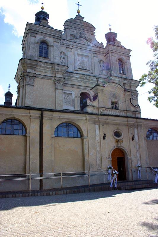
Opole Lubelskie Church in Opole Lubelskie

Coat of arms
 Opole Lubelskie
Coordinates: 51°9′N 21°58′E / 51.15°N 21.967°E Country  Poland
Voivodeship Lublin County Opole Lubelskie County Gmina Gmina Opole Lubelskie Government - Mayor Dariusz Wróbel Area - Total 15.12 km2 (5.8 sq mi) Population (2006) - Total 8,832 - Density 584.1/km2 (1,512.9/sq mi) Time zone CET (UTC+1) - Summer (DST) CEST (UTC+2) Postal code 24-300 Car plates LOP Website http://www.opolelubelskie.pl/ Opole Lubelskie [ɔˈpɔlɛ luˈbɛlskʲɛ] is a town in eastern Poland. It has 8,879 inhabitants (2004). The town is situated in the Lublin Voivodeship, some 10 kilometers east of the Vistula river. It is the capital of the Opole Lubelskie County. It was founded in the 14th century.
Sights
- UFO-memorial Emilcin at the village Emilcin, belonging to Opole Lubelskie.
Seat: Opole Lubelskie Urban-rural gminas 
Rural gminas Town and seat Opole Lubelskie
Villages Białowoda • Ćwiętalka • Dąbrowa Godowska • Darowne • Dębiny • Elżbieta • Elżbieta-Kolonia • Emilcin • Górna Owczarnia • Góry Kluczkowickie • Góry Opolskie • Grabówka • Jankowa • Kamionka • Kazimierzów • Kleniewo • Kluczkowice • Kluczkowice-Osiedle • Kręciszówka • Leonin • Ludwików • Majdan Trzebieski • Niezdów • Ożarów Drugi • Ożarów Pierwszy • Puszno Godowskie • Puszno Skokowskie • Rozalin • Ruda Godowska • Ruda Maciejowska • Sewerynówka • Skoków • Stanisławów • Stare Komaszyce • Stary Franciszków • Świdry • Truszków • Trzebiesza • Wandalin • Wola Rudzka • Wólka Komaszycka • Wrzelowiec • Wrzelowiec-Kierzki • Zadole • Zajączków • ZosinCoordinates: 51°09′N 21°58′E / 51.15°N 21.967°E
Categories:- Cities and towns in Lublin Voivodeship
- Opole Lubelskie County
- Lublin geography stubs


Wikimedia Foundation. 2010.