- Cerignale
-
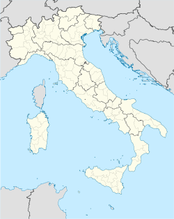
Cerignale — Comune — Comune di Cerignale Location of Cerignale in Italy Coordinates: 44°41′N 9°21′E / 44.683°N 9.35°ECoordinates: 44°41′N 9°21′E / 44.683°N 9.35°E Country Italy Region Emilia-Romagna Province Province of Piacenza (PC) Frazioni Cà d'Abrà, Cariseto, Carisasca, Casale, Castello, La Serra, Lisore, Loc. Madonna, Oneto, Ponte Organasco, Rovereto, Santa Maria, Selva, Zermogliana Area - Total 31.5 km2 (12.2 sq mi) Population (Dec. 2004) - Total 197 - Density 6.3/km2 (16.2/sq mi) Demonym Cerignalesi Time zone CET (UTC+1) - Summer (DST) CEST (UTC+2) Postal code 29020 Dialing code 0523 Website Official website Cerignale is a comune (municipality) in the Province of Piacenza in the Italian region Emilia-Romagna, located about 160 km west of Bologna and about 50 km southwest of Piacenza. As of 31 December 2004, it had a population of 197 and an area of 31.5 km².[1]
The municipality of Cerignale contains the frazioni (subdivisions, mainly villages and hamlets) Cà d'Abrà, Cariseto, Carisasca, Casale, Castello, La Serra, Lisore, Loc. Madonna, Oneto, Ponte Organasco, Rovereto, Santa Maria, Selva, and Zermogliana.
Cerignale borders the following municipalities: Brallo di Pregola, Corte Brugnatella, Ferriere, Ottone, Zerba.
Demographic evolution

References
External links
Emilia-Romagna · Comuni of the Province of Piacenza Agazzano · Alseno · Besenzone · Bettola · Bobbio · Borgonovo Val Tidone · Cadeo · Calendasco · Caminata · Caorso · Carpaneto Piacentino · Castel San Giovanni · Castell'Arquato · Castelvetro Piacentino · Cerignale · Coli · Corte Brugnatella · Cortemaggiore · Farini · Ferriere · Fiorenzuola d'Arda · Gazzola · Gossolengo · Gragnano Trebbiense · Gropparello · Lugagnano Val d'Arda · Monticelli d'Ongina · Morfasso · Nibbiano · Ottone · Pecorara · Piacenza · Pianello Val Tidone · Piozzano · Podenzano · Ponte dell'Olio · Pontenure · Rivergaro · Rottofreno · San Giorgio Piacentino · San Pietro in Cerro · Sarmato · Travo · Vernasca · Vigolzone · Villanova sull'Arda · Zerba · Ziano PiacentinoCategories:- Cities and towns in Emilia-Romagna
- Communes of the Province of Piacenza
- Emilia-Romagna geography stubs
Wikimedia Foundation. 2010.

