- Gods River, Manitoba
-
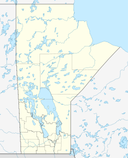
Gods River (Manto Sipi Cree Nation) Settlement Country Canada Province Manitoba Region Northern Elevation 180 m (591 ft) Coordinates 54°50′30″N 94°05′24″W / 54.84167°N 94.09°W Timezone Central Time (UTC-6) - summer (DST) Central Time (UTC-5) Postal code R0B 0N0 Area code 204 Gods River is a remote, isolated settlement in Northern Manitoba, Canada and the location of the Manto Sipi Cree Nation First Nations community. The settlement is on Gods Lake at the point of outflow of the Gods River.
The community can only be reached by winter road or via Gods Lake Airport.
References
- "Gods River". Geographical Names Data Base. Natural Resources Canada. http://geonames.nrcan.gc.ca/search/unique_e.php?id=GAJJM&output=xml. Retrieved 2011-03-01.
- "Gods River". Atlas of Canada. Natural Resources Canada. 2010-02-04. http://atlas.nrcan.gc.ca/site/english/maps/topo/map?mapsize=750%20666&mapxy=57360.581573%20643923.839755&scale=150000&feature_na=Gods%20River&searchstring=Gods%20River&layers=fapfeature%20fapfeature%20north_arrow%20other_features%20million_grid%20t50k_grid%20grid_50k_3%20roads%20hydrography%20boundary%20builtup%20vegetation%20populated_places%20railway%20power_network%20manmade_features%20designated_areas%20water_features%20water_saturated_soils%20relief%20contours%20toponymy%20contour%20nodata_ntdb_50k&map_layer%5bnortharrow%5d_class%5b0%5d_style%5b0%5d=ANGLE%20-1.0716368952594877&urlappend=%26unique_key%3D3e9e605abee311d892e2080020a0f4c9%26map.layer%5btextzoom03%5d%3DFEATURE+POINTS+57377.809418+643920.413609+END+TEXT+%22Gods+River%22+END%26map.layer%5btextzoom46%5d%3DFEATURE+POINTS+57377.809418+643920.413609+END+TEXT+%22Gods+River%22+END%26map.layer%5barrowzoom03%5d%3DFEATURE+POINTS+57377.809418+643920.413609+END+END. Retrieved 2011-03-01.
Categories:- Hamlets in Manitoba
- Northern Region, Manitoba
- Manitoba geography stubs
Wikimedia Foundation. 2010.

