- Richmond, Tasmania
Infobox Australian Place | type = town
name = Richmond
state = tas
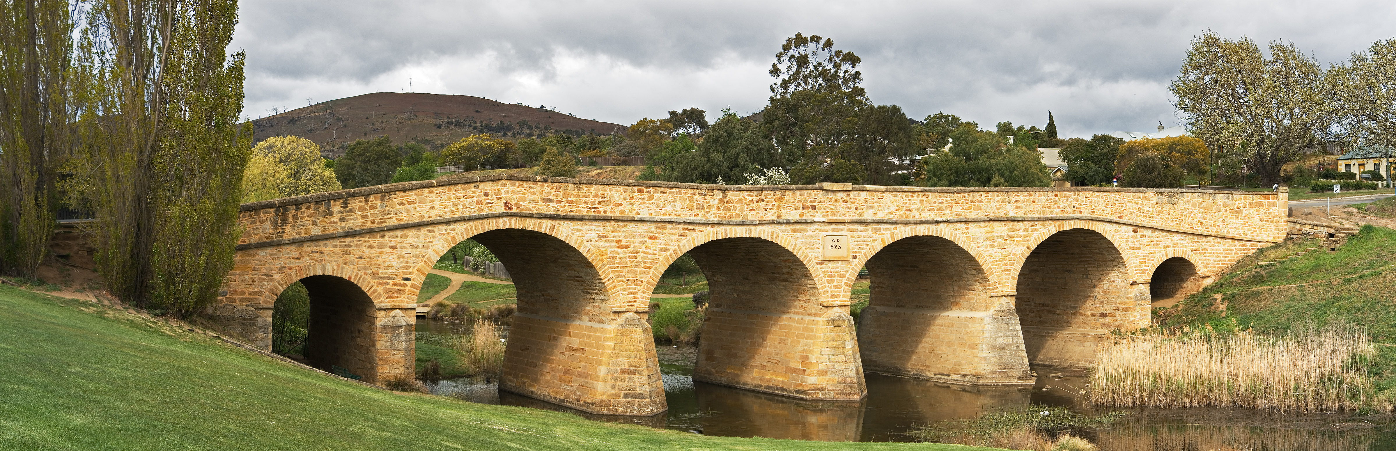
caption = Richmond Bridge
lga = Clarence Council
postcode = 7025
est =
pop = 880
pop_footnotes=
elevation=
elevation_footnotes=
maxtemp =
mintemp =
rainfall =
stategov = Lyons
fedgov = Lyons
dist1 = 27
dir1 = NE
location1=Hobart
dist2 = 24
dir2 = E
location2= Bridgewater
dist3 =
dir3 =
location3=Richmond,
Tasmania is a town about 25 km north-east ofHobart , in the Coal River region, between the Midland Highway andTasman Highway . At the 2006 census, Richmond had a population of 880.Census 2006 AUS|id=UCL613600 |name=Richmond (L) (Urban Centre/Locality)|accessdate=2007-11-11|quick=on]Richmond's most famous landmark is the Richmond Bridge, built in 1823, around the time of the town's first settlement. It is Australia's oldest bridge still in use.
The town was initially part of the route between Hobart and Port Arthur until the
Sorell Causeway was constructed in 1872.Present-day Richmond is best known as being preserved as it was at that time. It is a vibrant tourist town, with many of the sandstone structures still standing.
History
Tourist Attractions
Some notable
tourist attractions in Richmond are the Richmond Bridge, theRichmond Gaol ,Zoodoo Wildlife Park , a [http://www.about-australia.com/travel-guides/tasmania/hobart/attractions/building-structure/old-hobart-town-model-village/a model of Old Hobart Town in the 1800s] , and numerous old and heritage-listed buildings and parks.References
Wikimedia Foundation. 2010.