Warm Springs, Oregon — Infobox Settlement official name = Warm Springs, Oregon settlement type = CDP nickname = motto = imagesize = image caption = image imagesize = image caption = image mapsize = 250px map caption = Location of Warm Springs, Oregon mapsize1 = map… … Wikipedia
Warm Springs Inn — (Уэнатчи,США) Категория отеля: Адрес: 1611 Love Lane, Уэнатчи, WA 98801, США … Каталог отелей
Warm Springs Bay — is located at coord|57|4|N|134|48|W|.It receives its name from the eponymous hot springs. Baranof Warm Springs is also the outlet of Baranof Lake and Baranof River. Partly because of this, many fishing boats often take shelter or rest in the bay… … Wikipedia
Warm Springs — (spr. Uarm springs, d.i. warme Quelle), 1) (Bath Courth House), Hauptort der Grafschaft Bath im Staate Virginia (Nordamerika); warme Quellen (schwefelsaure Magnesia, Chlorcalcium), besuchter Badeort mit romantischer Umgegend; 2) Postort in der… … Pierer's Universal-Lexikon
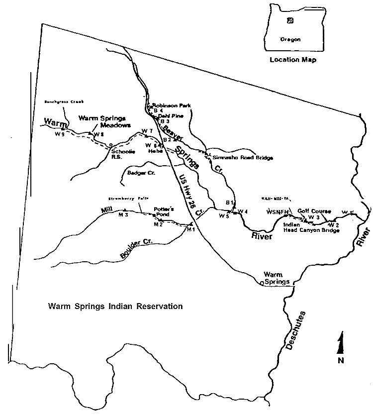
Warm Springs Indian Reservation — The Warm Springs Indian Reservation consists of 2,640.194 km² (1,019.385 sq mi) in north central Oregon, in the United States, and is occupied and governed by the Confederated Tribes of Warm Springs. TribesThree tribes form the confederation: the … Wikipedia
Warm Springs (tribe) — The Warm Springs are a Native American tribe from northern Oregon. The were also known as the Walla Walla.cite web |url= http://www.warmsprings.com/Warmsprings/Tribal Community/History Culture/ |title= History Culture|publisher= Confederated… … Wikipedia
Warm Springs Reservoir — Infobox lake lake name = Warm Springs Reservoir image lake = Warm Springs Reservoir.png caption lake = Satellite image of Warm Springs Reservoir image bathymetry = caption bathymetry = location = Oregon coords =… … Wikipedia
Warm Springs Wilderness — Infobox protected area | name = Warm Springs Wilderness iucn category = Ib caption = locator x = 48 locator y = 108 location = Arizona, USA nearest city = Oatman, Arizona lat degrees = 34 lat minutes = 54 lat seconds = 06 lat direction = N long… … Wikipedia
Baranof Warm Springs, Alaska — Baranof Warm Springs is a small, primarily seasonally occupied community in the U.S. state of Alaska, located on the eastern side of Baranof Island in the Alexander Archipelago. It is occasionally referred to simply as Baranof . Baranof Warm… … Wikipedia
Confederated Tribes of Warm Springs — Three women photographed on the Warm Springs reservation in 1902. The Confederated Tribes of Warm Springs is a federally recognized confederation of Native American Tribes who currently live on and govern the Warm Springs Indian Reservation in… … Wikipedia