- Wonga Park, Victoria
Infobox Australian Place | type = suburb
name = Wonga Park
city = Melbourne
state = vic
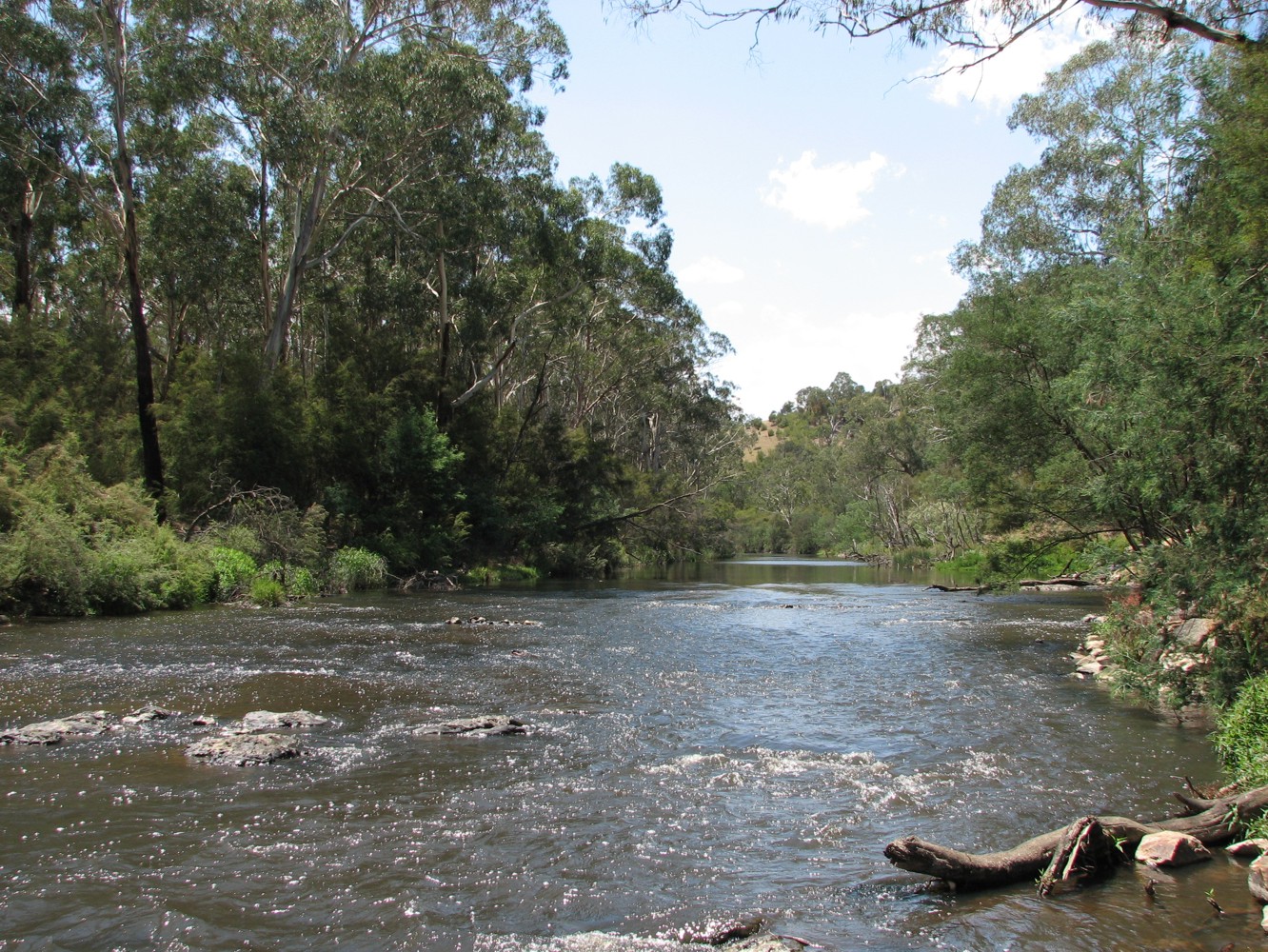
caption = Yarra River, Wonga Park
lga = City of Manningham
postcode = 3115
pop = 3505 (2006)Census 2006 AUS | id = SSC21741 | name = Wonga Park (State Suburb) | accessdate = 2007-09-29 | quick = on]
area = 9.1
est =
propval = $650,000 [ [http://www.domain.com.au/public/suburbprofile.aspx?suburb=Wonga%20Park&postcode=3115 Wonga Park] , accessed 27 November 2006]
stategov = Evelyn
fedgov = Menzies
dist1 = 35
location1=Melbourne
near-nw = North Warrandyte
near-n = Kangaroo Ground
near-ne = Bend of Islands
near-w = Warrandyte
near-e = Chirnside Park
near-sw = Warrandyte South
near-s = Croydon Hills
near-se = Croydon NorthWonga Park is a suburb in
Melbourne , Victoria,Australia . Its Local Government Area is theCity of Manningham . Wonga Park is an luxurant suburban locality 35 km east-north-east of Melbourne, between the southern bank of the Yarra River and Croydon North. The name comes from the Wonga Park grazing property, which itself derives fromSimon Wonga elder of theWurundjeri indigenous people of Melbourne. The area was part ofMooroolbark until the 1890s.In 1889 the Wonga Park property came into the hands of an insurance company and, along with other holdings, the land was sold by the Wonga Park Land Co. Four years later, when small settlements were a way of relieving unemployment after the failure of the land boom, about twenty members of an Eight Hours Pioneer Memorial Association took up small holdings on a former timber reserve. They succeeded in having a primary school opened in 1895, first called Warrandyte East, but Wonga Park in 1898. The area was a mixture of orchards and grazing properties and timbered land. Most smaller properties had been started with income from firewood that came from clearing the land.
One of the grazing properties, Yarra Brae, was acquired by the Hon. L. Clifford in 1940. After being a war-time army training area, Clifford made it available for Australia's first Pan Pacific Scout Jamboree in 1948. Clifford Park also hosted jamborees during the 1950s.
In 1972 Yarra Brae was the site of a proposed lower Yarra River reservoir, but residents of the nearby Bend of Isles bushland estate persuaded the Victorian Government to abandon the proposal. The allied Sugarloaf Reservoir at Christmas Hills went ahead.
The residential development of Wonga Park came after the subdivisions in Croydon and Mooroolbark, which were on the Maroondah Highway and a railway line. Residential living is most concentrated around the old village settlement where the church, hall, sports facilities, fire station and local shops are found. The northern boundary of Wonga Park, where land was acquired for the Yarra Brae storage, is a linear riverside part of the Warrandyte State Park. Wonga Park is also home to the largest residential block of land within metropolitan Melbourne, with many of the residential blocks being large in size, creating a privet sanctuary for many of it's residents.
References
External links
Wikimedia Foundation. 2010.