- Cintano
-
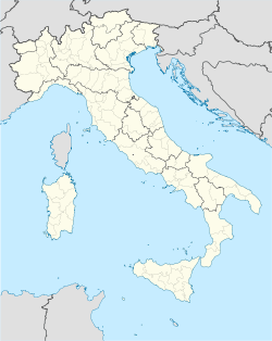
Cintano — Comune — Comune di Cintano Location of Cintano in Italy Coordinates: 45°26′N 7°41′E / 45.433°N 7.683°ECoordinates: 45°26′N 7°41′E / 45.433°N 7.683°E Country Italy Region Piedmont Province Province of Turin (TO) Frazioni Arià, Chiesa, Bosa, Gumbal, Marcellina, Cantel, Guy, Pasquarolo, Quadevia, Brichet, San Rocco, Grangia, Malpasso, Buria, Santuario, Molinatta Government - Mayor ? Area - Total 4.9 km2 (1.9 sq mi) Elevation 646 m (2,119 ft) Population (Dec. 2004) - Total 262 - Density 53.5/km2 (138.5/sq mi) Demonym Cintanesi Time zone CET (UTC+1) - Summer (DST) CEST (UTC+2) Postal code 10080 Dialing code 0124 Cintano is a comune (municipality) in the Province of Turin in the Italian region Piedmont, located about 40 km north of Turin. As of 31 December 2004, it had a population of 262 and an area of 4.9 km².[1]
The municipality of Cintano contains the frazioni (subdivisions, mainly villages and hamlets) Arià, Chiesa, Bosa, Gumbal, Marcellina, Cantel, Guy, Pasquarolo, Quadevia, Brichet, San Rocco, Grangia, Malpasso, Buria, Santuario, and Molinatta.
Cintano borders the following municipalities: Castellamonte, Colleretto Castelnuovo, and Castelnuovo Nigra.
Demographic evolution

References
Categories:- Cities and towns in Piedmont
- Communes of the Province of Turin
- Province of Turin geography stubs
Wikimedia Foundation. 2010.


