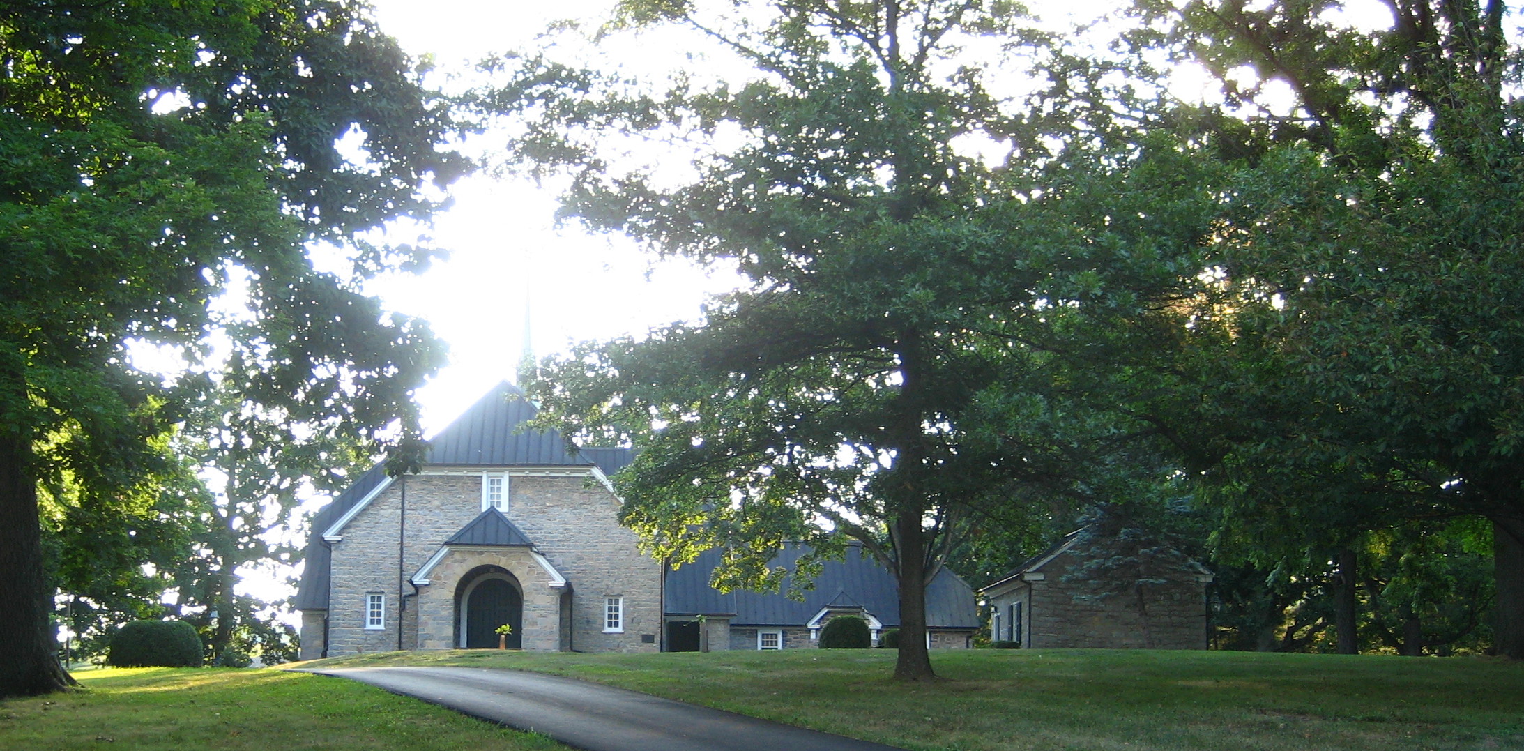
- Augusta Stone Church
Infobox nrhp
name =Augusta Stone Church
nrhp_type =

caption =
location =Fort Defiance, Virginia
nearest_city =
lat_degrees = 38
lat_minutes = 14
lat_seconds = 17
lat_direction = N
long_degrees = 078
long_minutes = 58
long_seconds = 32
long_direction = W
area =
built = 1749
architect =
architecture =
added = 1973-05-09
visitation_num =
visitation_year =
refnum = 73001994
mpsub =
governing_body =[http://www.augustastone.org Augusta Stone Church] is a
Presbyterian [http://www.pcusa.org (PCUSA)] place of worship located in Augusta County in the Commonwealth ofVirginia ,USA in the unincorporated community of Fort Defiance. The church was one of two meeting houses established by [http://www.augustastone.org/templates/System/details.asp?id=41485&PID=527448&Style= The Congregation of the Triple Forks of the Shenandoah] in the year 1740. Augusta Stone and sister meeting house Tinkling Spring were both served by the [http://www.augustastone.org/templates/System/details.asp?id=41485&PID=527448&Style= Rev. John Craig] . The final structure which was completed in 1749 is still in use and holds the distinction of being the oldest Presbyterian Church in continuous use in Virginia.History
The congregation was founded by the [http://www.augustastone.org/templates/System/details.asp?id=41485&PID=527448&Style= Rev. John Craig] in 1740, and at that time a [http://www.augustastone.org/templates/System/details.asp?id=41485&PID=527448&Style= log meeting house] was constructed approximately 1/4-mile from the existing stone church. Construction of the permanent stone building which was meant to be both a meeting house and a fort against Native American raids began in 1747 and was completed in 1749. Legend says that in the minister's office, there is a small "secret passageway" that was formerly used for security reasons when used as a sort of fort. However, no member of the church today has seen this alleged secret passageway, and references to it have not been found in official church records. Although the church was to be used as a fort in the event of Indian attack, it never was attacked. In the 1800's the small community surrounding the church would come to be known as Fort Defiance. The stone structure begun in 1747 was completed in 1749; it still stands today and has been in continuous use since 1749, making it the oldest Presbyterian house of worship in continuous use in Virginia. Two major additions were later added to the rear of the church: transcepts in the sanctuary and a wing of rooms and offices were added in 1921-22; and a large social hall (called "John Craig Hall" for the founding minister) and kitchen which were completed in 1956. The church also has its own [http://www.augustastone.org/templates/System/details.asp?id=41485&PID=527559&Style= museum] on the property containing artifacts from the church's early history. Visitation to the museum is by appointment and can be made by contacting the church office.
The two [http://www.augustastone.org/templates/System/details.asp?id=41485&PID=527560 cemeteries] at the church contain the [http://www.augustastone.org/templates/System/details.asp?id=41485&PID=529504&Style= graves of Revolutionary and Civil War veterans] . The museum houses the [http://www.augustastone.org/templates/System/details.asp?id=41485&PID=529504&Style= baptismal records of the Rev. John Craig from 1740-1749] .
Location
Augusta Stone Church is located on
U.S. Route 11 (also known as theLee Highway ) adjacent to Fort Defiance High, Clymore Elementary, and Stuart Gordon Middle schools in theShenandoah Valley , eight miles north of Staunton and 15 miles south of Harrisonburg in the small, unincorporated community of Fort Defiance,Virginia . It is accessible by U.S. Interstate 81 via exits 227 (Verona) and 235 (Weyers Cave). [http://www.augustastone.org/templates/System/details.asp?id=41485&PID=527575&Style= Click here for a location map and directions.]
Wikimedia Foundation. 2010.
