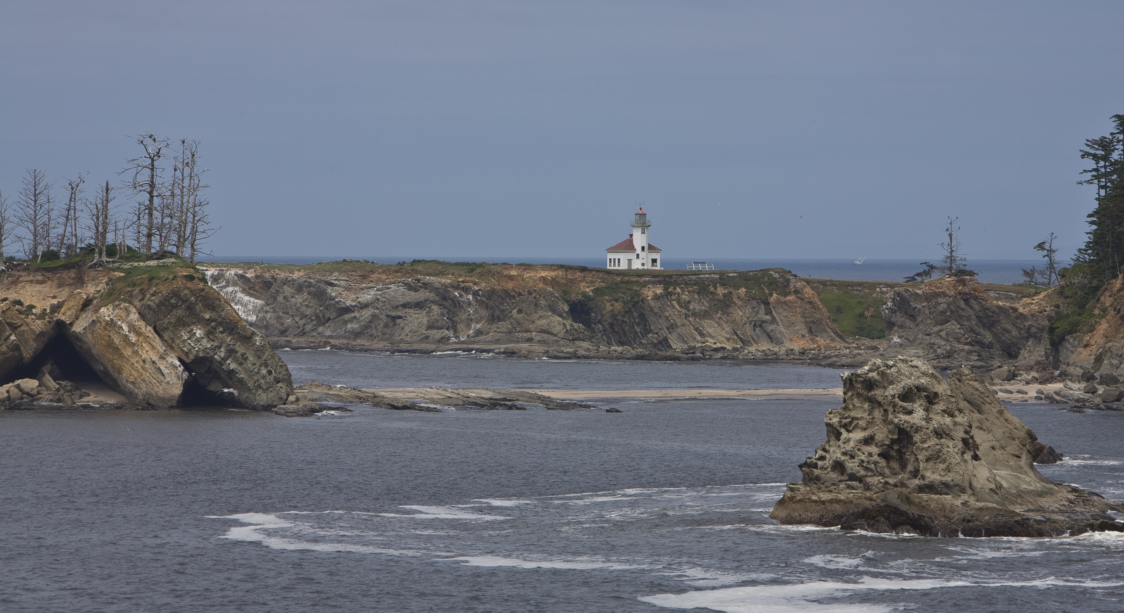
- Cape Arago Light
Infobox Lighthouse

caption = Cape Arago Light
location = Gregory Point/southwest of Coos Bay entrance
coordinates =
yearlit = 1934
automated = 1966
yeardeactivated = 2006
foundation = Concrete
construction = Reinforced concrete
appearance = White tower, green lantern, red dome
shape = Octagonal attached to fog signal building
height = convert|44|ft|m
lens = Fourth order Fresnel
range = convert|16|mi|km
characteristic = Group Flash White, 20 seconds 3 FlashesThe Cape Arago Light aka Cape Gregory Light is alighthouse on theOregon Coast of theUnited States , located in Coos County. It is more than a mile north ofCape Arago .It is not accessible to the public and was decommissioned in 2006. It is visible from the
Oregon Coast Trail betweenSunset Bay State Park andShore Acres State Park , and from Bastendorff Beach County Park. [http://www.oregonsbayareachamber.com/advent.htm] [http://www.statesmanjournal.com/apps/pbcs.dll/article?AID=/20051127/LIFE/511270337/0/ENT]The structure was listed on the
National Register of Historic Places in 1993. [ [http://www.nationalregisterofhistoricplaces.com/or/Coos/state.html National Register of Historic Places] ]References
See also
*
List of lighthouses on the Oregon Coast External links
* [http://www.discoveroregonlighthouses.com/arago.html Discover Oregon Lighthouses: Cape Arago]
* [http://www.statesmanjournal.com/apps/pbcs.dll/article?AID=/20051127/LIFE/511270337/0/ENT November 27, 2005, Statesman Journal article on Cape Arago Lighthouse]
* [http://www.lighthousefriends.com/light.asp?ID=129 Cape Arago Lighthouse entry at Lighthouse Friends.com]
* [http://www.cr.nps.gov/maritime/light/capearag.htm Cape Arago Light entry in National Park Service inventory of historic lighthouses]
Wikimedia Foundation. 2010.
