- Dargov
-
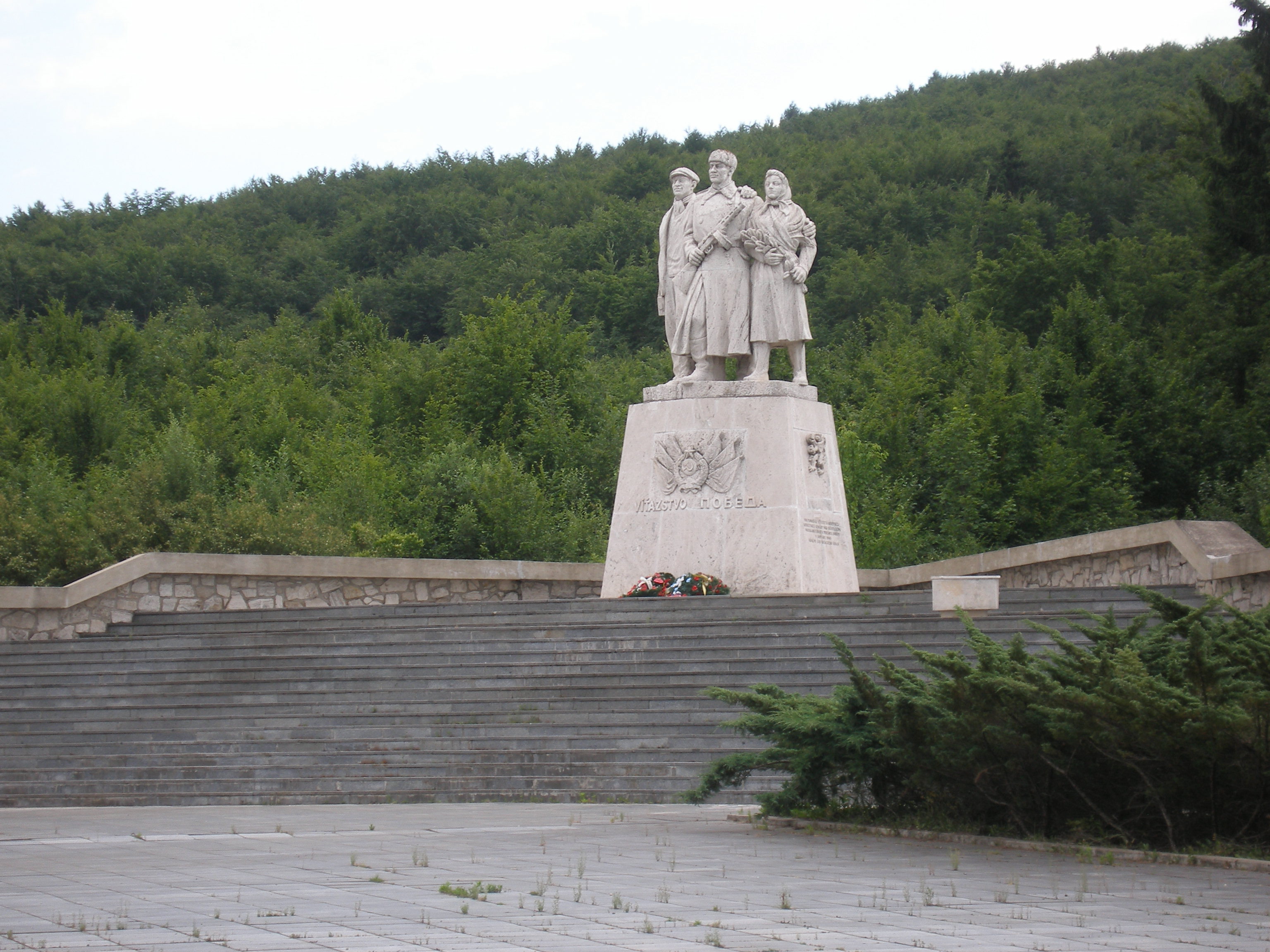
Dargov Dargó Village  World War II Memorial in Dargov
Country Slovakia Region Košice District Trebišov Elevation 252 m (827 ft) Coordinates 48°44′N 21°35′E / 48.733°N 21.583°E Area 21.88 km2 (8.45 sq mi) Population 541 (2004-12-31) Density 25 / km2 (65 / sq mi) First mentioned 1458 Postal code 076 61 Area code +421-56 Car plate TV 

 Location of Dargov in Slovakia
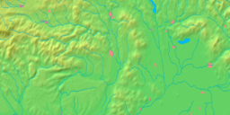
 Location of Dargov in the Košice Region
Wikimedia Commons: Dargov Statistics: MOŠ/MIS Dargov (1948-1964 Drahov; Hungarian: Dargó) is a village and municipality in the Trebišov District in the Košice Region of eastern Slovakia.
History
The village was first mentioned as Dorgo in a charter in 1458. It belonged to several owners: the nobles Semsey and Széchy, the castle of Sečovce (Csapy family), and a part to the town of Trebišov. In the 19th century it belonged to the noble landowners Andrássy, Berzeviczy and Forgách. In 1944 it was burned down by the German Army.
Čierna nad Tisou • Kráľovský Chlmec • Sečovce • Trebišov
Bačka • Bačkov • Bara • Biel • Boľ • Borša • Boťany • Brehov • Brezina • Byšta • Cejkov • Čeľovce • Čerhov • Černochov • Čierna • Dargov • Dobrá • Dvorianky • Egreš • Hraň • Hrčeľ • Hriadky • Kašov • Kazimír • Klin nad Bodrogom • Kožuchov • Kravany • Kuzmice • Kysta • Ladmovce • Lastovce • Leles • Luhyňa • Malá Tŕňa • Malé Ozorovce • Malé Trakany • Malý Horeš • Malý Kamenec • Michaľany • Nižný Žipov • Novosad • Nový Ruskov • Parchovany • Plechotice • Poľany • Pribeník • Rad • Sirník • Slivník • Slovenské Nové Mesto • Soľnička • Somotor • Stanča • Stankovce • Strážne • Streda nad Bodrogom • Svätá Mária • Svätuše • Svinice • Trnávka • Veľaty • Veľká Tŕňa • Veľké Ozorovce • Veľké Trakany • Veľký Horeš • Veľký Kamenec • Viničky • Višňov • Vojčice • Vojka • Zatín • Zbehňov • Zemplín • Zemplínska Nová Ves • Zemplínska Teplica • Zemplínske Hradište • Zemplínske Jastrabie • Zemplínsky Branč Categories:
- Villages and municipalities in Trebišov District
- Andrássy family
- Berzeviczy family
- Forgách family
- Trebišov District geography stubs
- Hungarian history stubs


Wikimedia Foundation. 2010.