- Streda nad Bodrogom
Geobox | Settlement
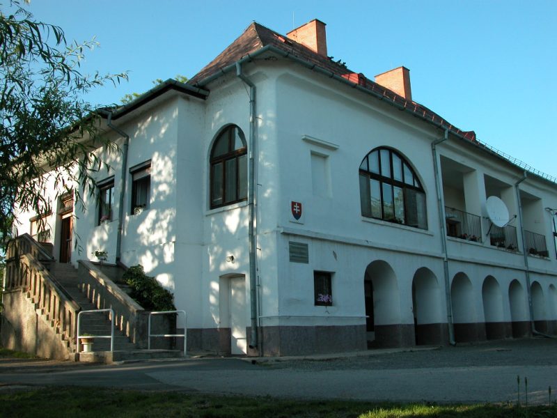
name = Streda nad Bodrogom
other_name = Bodrogszerdahely
category = Village
image_caption =
symbol =
etymology =
official_name =
motto =
nickname =
country = Slovakia
country_
state =
region = Košice
district = Trebišov
commune =
municipality =
part =
river =
location =
elevation = 105
lat_d = 48
lat_m = 22
lat_s = 45
lat_NS = N
long_d = 21
long_m = 46
long_s = 29
long_EW = E
coordinates_type = region:SK_type:city
highest =
highest_elevation =
highest_lat_d =
highest_long_d =
lowest =
lowest_elevation =
lowest_lat_d =
lowest_long_d =
area = 22.633
area_round = 2
population = 2407
population_date = 2005-12-31
population_density = auto
established = 1270
established_type = First mentioned
mayor =
timezone =
map_background = Slovakia - background map.png
map_locator = Slovakia
map1 = Košice Region - outline map.svg
map1_background = Košice Region - background map.png
map1_locator = Košice Region
commons = Streda nad Bodrogom
statistics = [http://www.statistics.sk/mosmis/eng/prvav2.jsp?txtUroven440811&lstObec543802&Okruhzaklad MOŠ/MIS]
website =
footnotes =Streda nad Bodrogom ( _hu. Bodrogszerdahely) is a village in
Slovakia nearTrebišov in theKošice Region .The village has the lowest altitude (94 m above sea level) in Slovakia.
The village is an important archeological site (findings from the
Mesolithic ,Neolithic ,Eneolithic ,Bronze Age , grave-mounds from the late 1st century BC, Slavic finds from the 7th and 8th century, early Magyar graves).The first written mention of the village dates back to 1320. An old castle near the village was destroyed by imperial (Austrian) troops in
1670 .In 2001 it had a population of 2459, of whom 1476 were ethnic Hungarians (60.02%), 896 Slovak (36.43%) and 87 (3.53%) other, mainly Roma.


Wikimedia Foundation. 2010.