- Col des Aravis
-
Col des Aravis 
Elevation 1,487 m (4,879 ft) Location Location of Col des Aravis Location Haute-Savoie/Savoie,  France
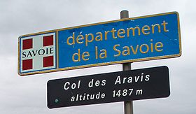
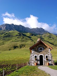
Range Aravis Range Coordinates 45°52′21″N 6°27′53″E / 45.8725°N 6.46472°ECoordinates: 45°52′21″N 6°27′53″E / 45.8725°N 6.46472°E The Col des Aravis is a mountain pass in the French Alps that connects the towns of La Clusaz in Haute-Savoie with La Giettaz in Savoie. At 1486 m. it is the lowest pass in the Aravis Range of mountains.
Appearances in Tour de France
The pass has been used 39 times in the Tour de France, most recently in 2010.
Year Stage Category Leader at the summit 2010 9 2  Jérôme Pineau (FRA)
2006 17 2  Patrice Halgand (FRA)
2002 17 2  Mario Aerts (BEL)
2000 16 2  Marco Pantani (ITA)
See also
- List of highest paved roads in Europe
- List of mountain passes
Categories:- Mountain passes of the Alps
- Mountain passes of France
- Haute-Savoie
- Savoie
- Rhône-Alpes geography stubs
Wikimedia Foundation. 2010.


