- Pohorelá
Geobox | Settlement
name = Pohorelá
other_name =
category = Village
image_caption =
symbol =
etymology =
official_name =
motto =
nickname =
country = Slovakia
country_
state =
region = Banská Bystrica
district = Brezno
commune =
municipality =
part =
river =
location =
elevation = 764
lat_d = 48
lat_m = 51
lat_s = 55
lat_NS = N
long_d = 20
long_m = 01
long_s = 06
long_EW = E
coordinates_type = region:SK_type:city
highest =
highest_elevation =
highest_lat_d =
highest_long_d =
lowest =
lowest_elevation =
lowest_lat_d =
lowest_long_d =
area = 46.94
area_round = 2
population = 2552
population_date = 2004-12-31
population_density = auto
established = 1612
established_type = First mentioned
mayor =
timezone =
timezone_DST =
postal_code = 976 69
area_code = +421-48
code = BR
code_type = Car plate
free =

map_background = Slovakia - background map.png
map_locator = Slovakia
map1 = Banská Bystrica Region - outline map.svg
map1_background = Banská Bystrica Region - background map.png
map1_locator = Banská Bystrica Region
commons =
statistics = [http://www.statistics.sk/mosmis/eng/prvav2.jsp?txtUroven430603&lstObec508870&Okruhzaklad MOŠ/MIS]
website = [http://www.pohorela.sk www.pohorela.sk]
footnotes =Pohorelá is a village and
municipality inBrezno District , in theBanská Bystrica Region of centralSlovakia .Roman Catholic
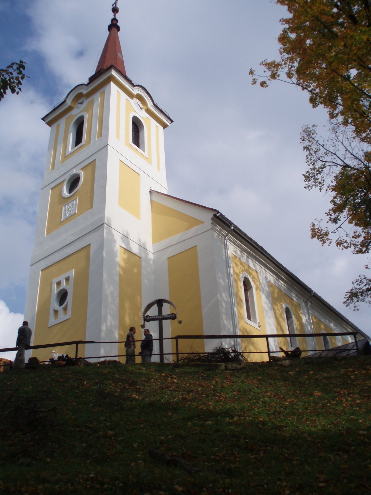
Pohorela church built in 1762 is a dominant of village.Photos
External links
* [http://www.pohorela.sk/index.asp Official website Pohorelá]
* [http://www.fara.sk/pohorela Official website of parish Pohorelá]


Wikimedia Foundation. 2010.