Michalová

Michalová
Michalová
Village
Country Slovakia
Region Banská Bystrica
District Brezno
Elevation 590 m (1,936 ft)
Coordinates 48°46′N 19°47′E / 48.767°N 19.783°E / 48.767; 19.783
Area 14.33 km2 (5.53 sq mi)
Population 1,391 (2004-12-31)
Density 97 / km2 (251 / sq mi)
First mentioned 1786
Postal code 976 57
Area code +421-48
Car plate BR
Location of Michalová in Slovakia
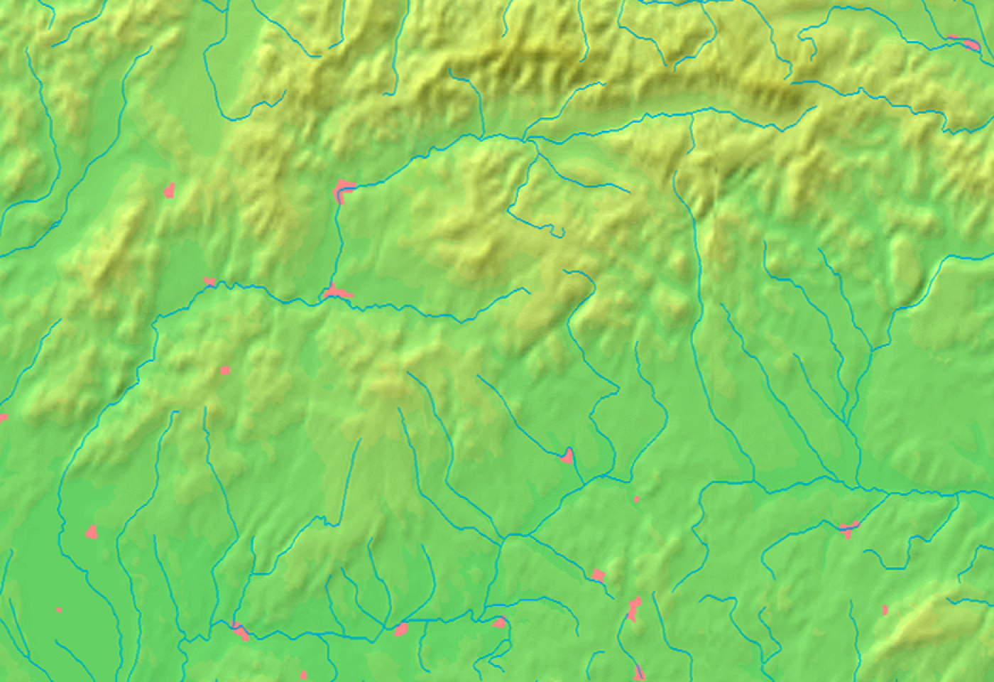
Location of Michalová in the Banská Bystrica Region
Wikimedia Commons: Michalová
Statistics: MOŠ/MIS

Michalová is a village and municipality in Brezno District, in the Banská Bystrica Region of central Slovakia.


Wikimedia Foundation. 2010.

Игры ⚽ Поможем решить контрольную работу

Look at other dictionaries:

  • Michalová — (Village) Eglise St Stéphane 1897 Administration …   Wikipédia en Français

  • Penzion Fantázia Michalová — (Михалова,Словакия) Категория отеля: 3 звездочный отель Адрес: Hradza 2 …   Каталог отелей

  • Brezno — Wappen Karte …   Deutsch Wikipedia

  • Bahnstrecke Podbrezová–Tisovec — Podbrezová–Tisovec Kursbuchstrecke (ZSSK): 174 Streckenlänge: 41,180 km Spurweite: 1435 mm (Normalspur) Maximale Neigung: 50 ‰ Zahnstangensystem: Abt Höchstgeschwindigkeit …   Deutsch Wikipedia

  • Richard Friedmann — (* 24. Juni 1906 in Wien; † 22. Mai 1944 im KZ Auschwitz) war österreichischer Zionist und leitender Funktionär der Jüdischen Kultusgemeinde in Prag. Inhaltsverzeichnis 1 Leben und Wirken 2 Literatur …   Deutsch Wikipedia

  • Ligne 174 (Chemin de fer slovaque) — Pour les articles homonymes, voir Ligne 174. Ligne 174 Ligne de Jesenské à Brezno Pays …   Wikipédia en Français

  • Banská Bystrica Region — Geobox | Region name = Banská Bystrica other name = category = Region image caption = image caption = symbol = symbol type = Coat of arms etymology = official name = motto = nickname = country = Slovakia country state = region = district =… …   Wikipedia

  • Brezno District — Infobox Slovak district subject name = Brezno District slovak region = Banská Bystrica Region population = 65,785 (2001) prefix = 48 area = 1265 car plate = BR image location = Okres brezno.png Brezno District ( okres Brezno ) is a district inthe …   Wikipedia

  • Čierny Balog — Coordinates: 48°45′N 19°40′E / 48.75°N 19.667°E / 48.75; 19.667 …   Wikipedia

  • Dolná Lehota — Location of Brezno District in the Banská Bystrica Region Dolná Lehota (earlier Dolná Lehôtka, Hungarian: Alsószabadi, before 1907 Alsólehota) is a village and municipality in Brezno District, in the Banská Bystrica Region of central Slovakia …   Wikipedia

Share the article and excerpts

Direct link
Do a right-click on the link above
and select “Copy Link”