- Van Ness–UDC (Washington Metro)
Infobox Station
name = Van Ness-UDC

logo_size = 50px
image_size =
image_caption =
address = 4200 Connecticut Avenue, NorthwestWashington, D.C. 20008
line =
other =
platform = 1island platform
tracks = 2
parking =
bicycle = 9 racks, 8 lockers
passengers = 2.723 million
pass_year = 2006
pass_percent = 5
pass_system =
opened =December 5 ,1981
rebuilt =
ADA = Yes
code = A06
owned =Washington Metropolitan Area Transit Authority
zone =
services =
mpassengers =Van Ness-UDC is a
Washington Metro station inWashington, D.C. on the Red Line nearMaryland .Opened on
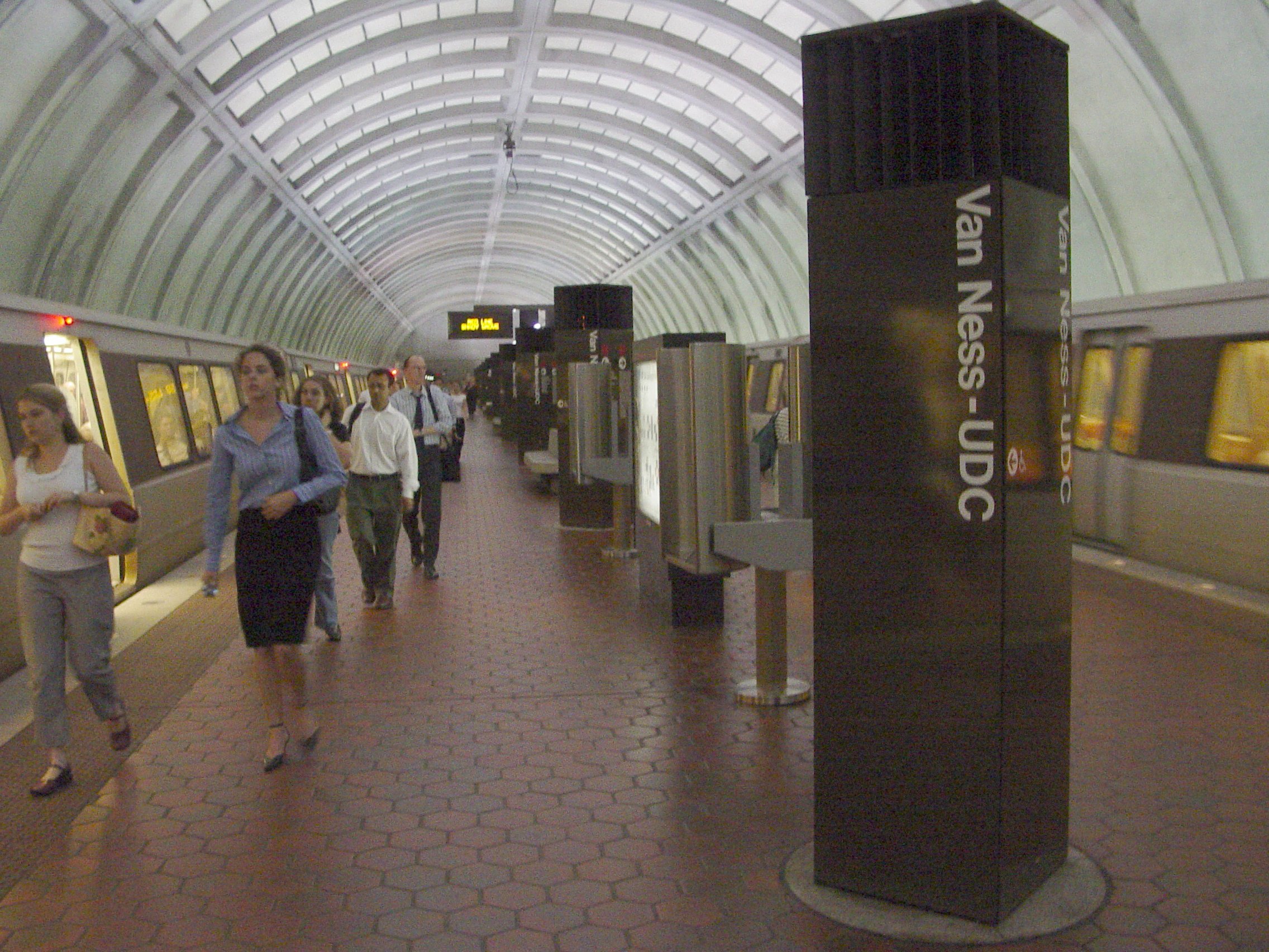
December 5 ,1981 , Van Ness-UDC station serves the neighborhoods ofNorth Cleveland Park and Forest Hills. Along with North Cleveland Park and Forest Hills, the station is also nearest to theUniversity of the District of Columbia , whose name lends the -UDC suffix.Howard University law school and theEdmund Burke School are also located near Van Ness-UDC.Intelsat , a major satellite communications company, has its headquarters near Van Ness-UDC station. Other attractions are easily reachable from the station because of its position at the major intersection of Van Ness street and Connecticut Avenue.When the station originally opened in 1981, it was the terminus of the Red Line. Not until
1984 did the Red Line extend farther northwards, at that time it terminated at Grosvenor-Strathmore, which was then known simply asGrosvenor . Architecturally, Van Ness-UDC is similar to other stations along the underground stretch of theRed Line between Woodley Park-Zoo/Adams Morgan and Medical Center. Because of the high cost of the waffle design and the relative large depth of these stations, pre-fabricated concrete segments were shipped to the construction site and placed together to form the structure of the station. This resulted in what is now known as the "Arch I" station design of the Washington Metro. [ [http://world.nycsubway.org/us/washdc/ Washington, D.C. Metro] by NYC Subway]Van Ness-UDC station is the final station in the tunnel beneath Connecticut Avenue, one of Washington's busiest thoroughfares. After trains leave the station, the tunnel shifts westwards underneath Van Ness and at the next station, Tenleytown-AU, the tunnel then parallels the route of Wisconsin Avenue into
Maryland .Bus routes
Metrobus
* D32
* H2
* L1, L2, L4
* N8References
External links
* WMATA: [http://www.wmata.com/metrorail/Stations/station.cfm?station=9 Van Ness-UDC Station]
* StationMasters Online: [http://www.stationmasters.com/System_Map/VANESUDC/vanesudc.html Van Ness-UDC Station]
* The Schumin Web Transit Center: [http://transit.schuminweb.com/rail/washington/red-line.asp?station=A06 Van Ness-UDC Station]
* The east entrance is at coordinates coord|38|56|40.4|N|77|3|48.7|W|type:railwaystation|display=inline,title
* The west entrance is at coordinates coord|38|56|40.1|N|77|3|50.4|W|type:railwaystation|display=inline
Wikimedia Foundation. 2010.