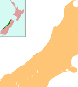
- Mount Lendenfeld
-
Mt Lendenfeld Location of Mount Lendenfeld in New Zealand Elevation 3,192 m (10,472 ft) Location Location South Island, New Zealand Range Southern Alps Coordinates 43°33′37″S 170°10′10″E / 43.560142°S 170.169453°ECoordinates: 43°33′37″S 170°10′10″E / 43.560142°S 170.169453°E Mount Lendenfeld, the sixth highest peak in New Zealand, is located in Aoraki/Mount Cook National Park.
This mountain, located near Aoraki/Mount Cook, is normally climbed from the New Zealand Alpine Club hut on the Fox Glacier. The normal route is a relatively easy ascent in good conditions.
References
- Bell, James Mackintosh (1907). "The Heart of the Southern Alps, New Zealand". The Geographical Journal: 181. http://books.google.com/?id=j6cMAAAAIAAJ&pg=PA181&dq=%22Mount+Lendenfeld%22. Retrieved 2008-10-30.
- O'Donnell, E. J.. "Du Faur, Emmeline Freda (1882 - 1935)". Australian Dictionary of Biography, Online Edition. Australian National University. ISSN 1833-7538. http://www.adb.online.anu.edu.au/biogs/A080373b.htm. Retrieved 2008-10-30. "she conquered ... Mount Lendenfeld (3192 m, second ascent)."
Categories:- Mountains of New Zealand
- West Coast Region geography stubs
- Canterbury Region geography stubs
Wikimedia Foundation. 2010.

