- Märkisch Buchholz
-
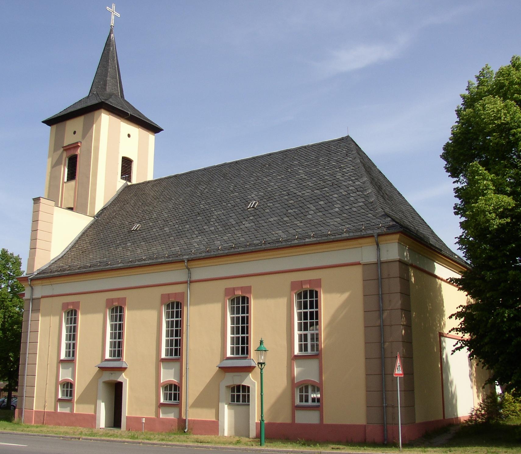
Märkisch Buchholz Church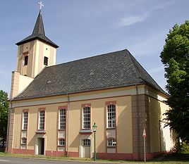


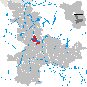
 Märkisch BuchholzLocation of the town of Märkisch Buchholz within Dahme-Spreewald district
Coordinates 52°06′N 13°45′E / 52.1°N 13.75°ECoordinates: 52°06′N 13°45′E / 52.1°N 13.75°E Administration Country Germany State Brandenburg District Dahme-Spreewald Municipal assoc. Schenkenländchen Town subdivisions 3 Ortsteile Mayor Bianca Urban (FW) Basic statistics Area 24.65 km2 (9.52 sq mi) Elevation 42 m (138 ft) Population 780 (31 December 2010)[1] - Density 32 /km2 (82 /sq mi) Other information Time zone CET/CEST (UTC+1/+2) Licence plate LDS Postal code 15748 Area code 033765 Website www.maerkischbuchholz.de Märkisch Buchholz is a small town in the Dahme-Spreewald district, in Brandenburg, Germany. It is situated on the Dahme River, 20 km northwest of Lübben (Spreewald) and resp. 50 km southeast of Berlin.
Overview
The town is the smallest one in Brandenburg with town status. Founded in the 12th or 13th century the town's first historical mention dated on 13 August 1301, described as castrum et oppidum Buchholt. The town was heavily destroyed during the last day of World War II, due to strategic position at the Dahme river in Battle of Halbe. The federal highway B179 connect the town direct with Berlin.
See also
- Köthener See
References
- ^ "Bevölkerung im Land Brandenburg am am 30. Dezember 2010 nach amtsfreien Gemeinden, Ämtern und Gemeinden. Gebietsstand: 31.12.2010" (in German). Amt für Statistik Berlin-Brandenburg. 31 December 2010. http://www.statistik-berlin-brandenburg.de//Publikationen/OTab/2011/OT_A01-04-00_124_201012_BB.pdf.
Alt Zauche-Wußwerk | Bersteland | Bestensee | Byhleguhre-Byhlen | Drahnsdorf | Eichwalde | Golßen | Groß Köris | Halbe | Heideblick | Heidesee | Jamlitz | Kasel-Golzig | Königs Wusterhausen | Krausnick-Groß Wasserburg | Lieberose | Lübben | Luckau | Märkisch Buchholz | Märkische Heide | Mittenwalde | Münchehofe | Neu Zauche | Rietzneuendorf-Staakow | Schlepzig | Schönefeld | Schönwald | Schulzendorf | Schwerin | Schwielochsee | Spreewaldheide | Steinreich | Straupitz | Teupitz | Unterspreewald | Wildau | Zeuthen Categories:
- Towns in Brandenburg
- Localities in Dahme-Spreewald
- Brandenburg geography stubs

Wikimedia Foundation. 2010.