- Texas State Highway 103
Infobox TX State Highway
type=State
route=103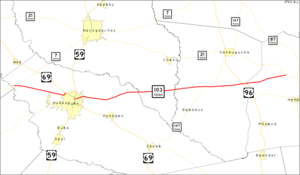
length_mi=63.05Texas Department of Transportation , [http://www.dot.state.tx.us/tpp/hwy/sh/sh0103.htm] ]
length_km=101.47
formed=by 1933
dir1=West
dir2=East
from=
junction=
|to=
previous_type=State
previous_route=102
next_type=State
next_route=104
browse=tx browse
previous_type=state
previous_route=292
route=SH 293
next_type=state
next_route=294State Highway 103, or SH 103, is a state highway that runs through east Texas from an intersection with SH 7 near the
Neches River through Lufkin to an intersection with SH 21 near the Louisiana state border. SH 103 was originally designated by 1933 along a stretch from Centerville to Lufkin, renumbering a section of previous SH 7 when it was rerouted farther north. By 1938, this route had been completed in some form. In 1939, the highway was redescribed from Ratcliff through Lufkin to near Milam when SH 7 was again rerouted farther south to more of its original path. The current path was created in 1961 when the concurrent section with SH 7 was eliminated.Counties and junctions
References

Wikimedia Foundation. 2010.