- Mohed
-
Mohed 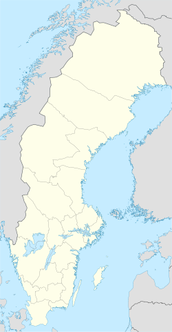
 Mohed
MohedCoordinates: 61°18′N 16°50′E / 61.3°N 16.833°ECoordinates: 61°18′N 16°50′E / 61.3°N 16.833°E Country Sweden Province Hälsingland County Gävleborg County Municipality Söderhamn Municipality Area[1] - Total 1.03 km2 (0.4 sq mi) Population (2005-12-31)[1] - Total 416 - Density 403/km2 (1,043.8/sq mi) Time zone CET (UTC+1) - Summer (DST) CEST (UTC+2) Mohed is a locality situated in Söderhamn Municipality, Gävleborg County, Sweden with 416 inhabitants in 2005.[1] It was the site for the orienteering competition known as O-Ringen in 1981,2006 and will be the site of the 2011 competition from July 23 - 29.
It was during the period 1689-1908 center for the infantry regiment of Hälsingland. The regiment moved to [Gävle] and the old barracks was transformed into a tuberculosis hospital from 1914. The hospital was closed down during the 1950:ies. A memorial stone was erected at the training grounds with the inscription "Mohed, Hälsinge regementes mötesplats 1689-1908".
During the period of 1729-1859 there was a linen factory with its own quality stamp. Such a stamp was very uncommon to be given to a factory in Sweden, usually it was being held by the kings appointed in the region. During it most productive period the factory employed about 200 persons.
The stretch of road going by the school and church was built by British sailors during the World War II. The sailors was refuges from sunken ships that had been stranded on Swedish shores.
References
- ^ a b c "Tätorternas landareal, folkmängd och invånare per km2 2000 och 2005" (in Swedish) (xls). Statistics Sweden. http://www.scb.se/statistik/MI/MI0810/2005A01B/T%c3%a4torternami0810tab1.xls. Retrieved 2009-05-10.
External links
Localities in Söderhamn Municipality, Gävleborg County, Sweden Localities: Bergvik · Ljusne · Marmaskogen · Marmaverken · Mohed · Sandarne · Skog · Söderala · Söderhamn (seat) · Vallvik · VannsätterCategories:- Populated places in Gävleborg County
- Gävleborg County geography stubs

Wikimedia Foundation. 2010.