- Mount Sirung
-
Mount Sirung 
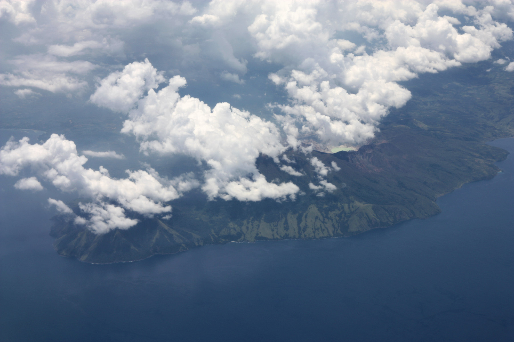
Sirung caldera in 2004Elevation 862 m (2,828 ft) Location Location Pantar Island, East Nusa Tenggara (Indonesia) Coordinates 8°31′S 124°08′E / 8.517°S 124.133°E Geology Type Complex volcano Last eruption 1970 Mount Sirung (Indonesian: Gunung Sirung) is an active volcano complex volcano located on Pantar Island in the Alor archipelago of the eastern Indonesian province of Nusa Tenggara Timor. The crater rim can be reached by an easy hike from the village of Kakamauta. Inside the crater is a large sulphurous crater lake and several active steam vents. The volcano last erupted in 1970, and regular gas and clastic eruptions have occurred since 2004.
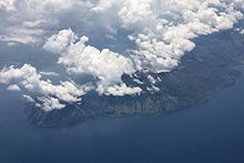 Aerial view
See also
References
- "Sirung". Global Volcanism Program, Smithsonian Institution. http://www.volcano.si.edu/world/volcano.cfm?vnum=0604-27=.
External links
Categories:- Mountains of Indonesia
- Volcanoes of the Lesser Sunda Islands
- Complex volcanoes
- Crater lakes
- Active volcanoes of Indonesia

Wikimedia Foundation. 2010.