- Mangaweka
-
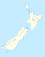
Mangaweka is a township on State Highway One (SH1), in the North Island of New Zealand, with a population of just over 200. It is between Taihape to the north and Hunterville to the south. The Rangitikei River runs adjacent to the township, which is popular for rafting, kayaking, fishing and swimming.
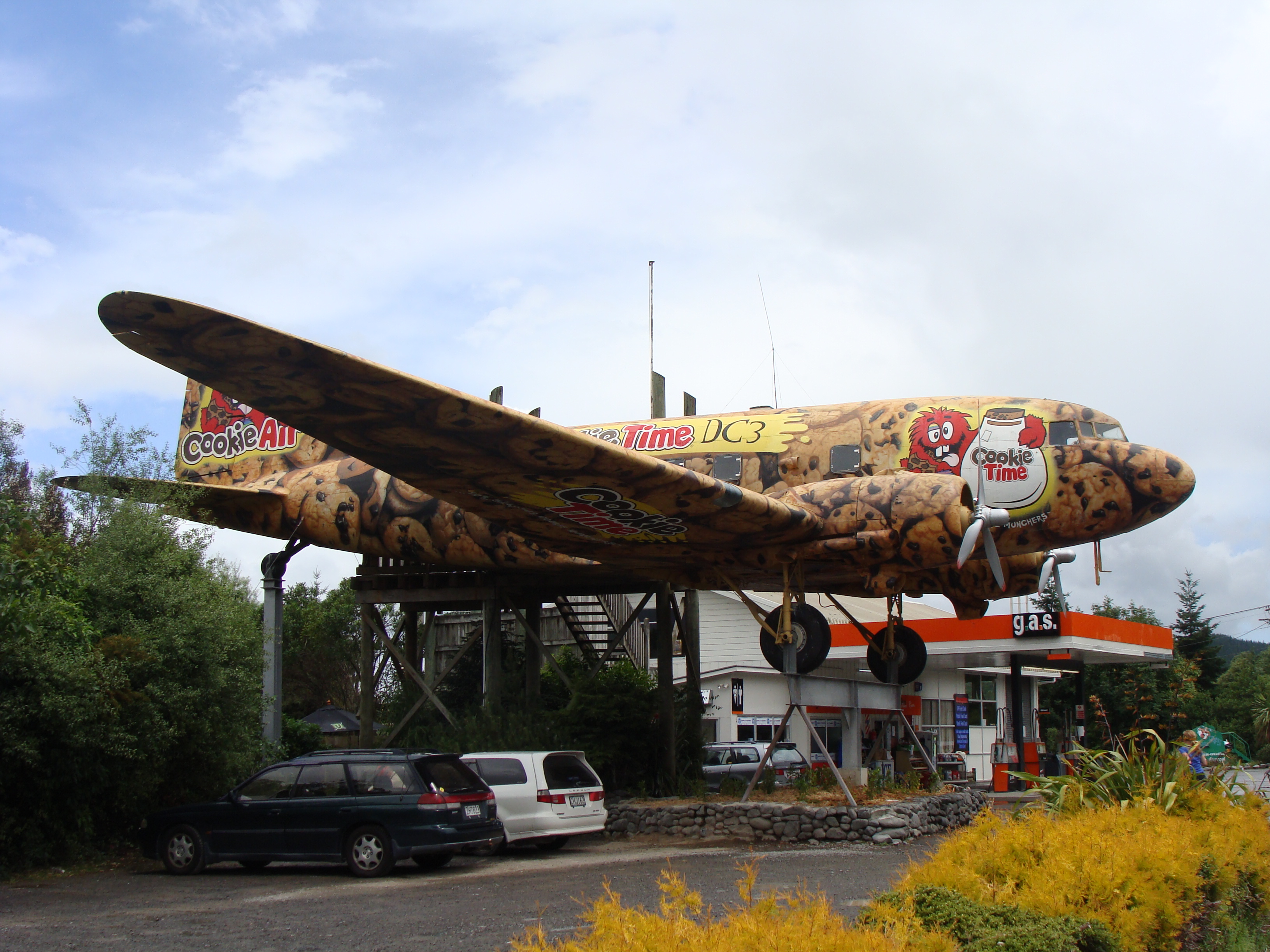
 The DC-3 aircraft
 Mangaweka
The township is interesting not only for the visually interesting historic main street, but also because of its growing artists' community. The main street is preserved in its original state due to SH1 being re-located in the early 1980s. This tore the heart out of the township as the main street became redundant, but this is what makes the township such a tourist attraction today, with many people stopping to take photographs and visit the flourishing art galleries.
The main feature in Mangaweka is an elevated DC-3 aircraft. It was originally set above SH1 as a tearoom, but is now featuring it's history in New Zealand. There is also a busy cafe under the DC3 that acts as the base for a river rafting company. The Department of Conservation have several scenic reserve walks around Mangaweka including one on the former North Island Main Trunk railway line and tunnels, replaced by a deviation in 1981.
Famous (or infamous) people who have lived in Mangaweka include the New Zealand poet Sam Hunt, the artist Robin White (whose iconic "Mangaweka" painting hangs in Te Papa) and photographer/artist Richard Aslett. The town also hosts the controversial annual "Fakes & Forgeries Art Exhibition and Festival" in October and November, which in 2007 featured Mangaweka's most famous son, C. F. Goldie (alias Karl Sim [1]).
Other major features close to the town include some of the country's biggest railway viaducts[2], and the Rangitikei River canyon which provides the setting for the southern hemisphere's highest flying fox, 80m bungy jump and Lord of the Rings location.
Coordinates: 39°48′S 175°47′E / 39.8°S 175.783°E
Rangitikei River Source: Kaimanawa Range — Flows into: Tasman Sea Administrative areas Waikato Region · Manawatu-Wanganui RegionTowns and settlements (upstream to downstream) Major tributaries (upstream to downstream by confluence) Other features (upstream to downstream) Mangaweka ViaductLongest New Zealand rivers Categories:- Populated places in New Zealand
- Manawatu-Wanganui Region
- Manawatu-Wanganui Region geography stubs

Wikimedia Foundation. 2010.