- Taihape
Infobox Settlement
name=Taihape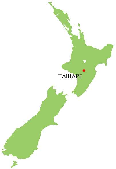
mapsize=160px
subdivision_type=Country
subdivision_name=NZL
subdivision_type1=Region
subdivision_name1=Manawatu-Wanganui
subdivision_type2=Territorial authority
subdivision_name2=Rangitikei District
subdivision_type3=Ward
subdivision_name3=Taihape
established_date= pre-European
established_title=Settled
established_date1=1894
established_title1=Founded
seat_type=Electorate
seat=Rangitīkei
leader_party= National
leader_name=Simon Power
leader_title=MP
leader_title1= Mayor
leader_name1= Bob Buchanan
population_urban=2000
postal_code_type=Postcode
postal_code=4720
area_code=06Taihape coord|39|40.6|S|175|47.8|E|region:NZ_type:city(2000)|display=titleis a small, picturesque town near the middle of the
North Island ofNew Zealand . It services a large rural community and lies on the main North-South route through the centre of the North Island. Taihape is the butt of many jokes owing to its rural isolation and its "one horse town: blink and you'll miss it" reputation.Economy
Taihape is a rural supply town and was at its peak during the 1960s when it was a bustling railway and transport hub for the surrounding farming community. Much of its economic activity revolved around the railway and rural communities. A major decline occurred in the 1980s due to a restructure and electrification of the railway system and a general downturn in the farming sector. In recent years with the advent of major tourist attractions Taihape is now experiencing an upturn in local commerce. Its location on the
North Island Main Trunk Railway and on State Highway 1 has ensured its economic survival as a key stopping point for weary and hungry travellers, although today only occasional excursion trains stop at the once busy railway station. Taihape's main claim to fame is as the "Gumboot Capital of the World", and it attracts large numbers of people to the annual gumboot-throwing contest.Geography
Taihape is near the confluence of the Hautapu and Rangitikei rivers about 500m (1500 ft) above sea level. It lies in a sheltered valley among the high country of the central North Island, close to the
Rangitikei River and the Ruahine Ranges. Despite its transport links, it is considered to be isolated by most New Zealanders because there are no towns of a comparable size for a considerable distance. Few towns in New Zealand have a steeper street profile, which provides spectacular views across to the Ruahine Ranges. It is surrounded by fertile high country ideal for sheep and deer farming. Its location close to the mountains, rivers and lakes has made it ideal as a service point for hunting and outdoor tourism. Its position at the southern edge of the volcanic plateau ensures that it gets its fair share of seismic activity.Transport routes in and out of Taihape have improved vastly over the years. What were once twisting and treacherous roads through the high country, State Highway 1 is now an easy and fast set of deviations through the hills to Mangaweka in the south and Waiouru to the north. North of Taihape the road and railway first cross the wide volcanic plateau (with the
volcano esMount Ruapehu ,Mount Ngauruhoe , andMount Tongariro ) and theRangipo Desert before the road reachesLake Taupo and the more hospitable country beyondTaupo at the north end of the lake, while the railway turns briefly westward throughOhakune on its way to theRaurimu Spiral at the north-west edge of the plateau.There are still no decent transport links to the west, owing to rugged hill country, and only the rugged
Gentle Annie Road to the east over a mountain range to the port city of Napier. Before State Highway 1 and the railway were built the latter road was the main route in or out of what was then an extremely isolated community.History
The Taihape region was originally inhabited by local Maori tribes who settled the area well before the arrival of Europeans; descendants of these tribes still live in the area. The first record of a European to the region is William Colenso's visit in 1845. In 1884, the surveyor's party for the Main Trunk railway line cut a rough track through the district.
The town was founded in 1894, when European settlers arrived from Canterbury in the South Island. The site of the town was a small natural clearing in dense native bush, which the first settlers set about clearing. Many of the original families have descendants still living in the area. The settlement was first called Hautapu after the local river, then Otaihape ("the place of Tai the Hunchback"), and finally Taihape [ [http://www.teara.govt.nz/1966/T/Taihape/Taihape/en An Encyclopaedia of New Zealand] , 1966, A. H. McLintock (editor)] .
Before the establishment of the railway, the bulk of farming produce (wool) had to be transported east by horse and bullock cart to Napier, from where it was exported. Until the establishment of decent roads and railways in the early 1900s, Taihape, like other rural towns, remained largely an isolated pioneer settlement. It developed as a key railway and transport town, reaching its peak of population and activity during the heyday of the 1950s and 1960s. The town declined during the downturn of the 1980s and today it is largely a refreshment stop for travellers and a service point for the local farming community.
People
Taihape has a population of about 2,000 people. Population peaked at around 3,500 in the late 1960s, but declined in parallel with many other rural towns after that time.
It had a primary school (motto: Nulla Vestiga Restrorum, never look back, a secondary school (motto: step forward together), and the integrated St Joseph's Catholic School (motto: Christus Dux Nostrum, Christ Our Leader), which opened its doors in 1916. All the schools service a thinly spread rural community scattered over a very wide area. The secondary school was reputed to be the second smallest in the country.In April 2004 the education minister,
Trevor Mallard , decided that the state secondary and primary schools were to recombine and pool their resources to become an Area School. This caused much angst in the town, especially regarding the choice of site.Fame
For most New Zealanders, Taihape is a "one-horse" town on the main highway ideal as a stopover for weary travellers going north or south. By far its biggest claim to fame is as the home of the annual
Gumboot Day . Gumboot day was first celebrated on Tuesday9 April 1985 . This festival was devised by local business people who, realising that they could never rid the town of its rural backwater image, decided to capitalise on its rural image. Taihape's second claim to fame is that it is regarded (along withEketahuna ) as the archetypical small New Zealand farming town. This reputation was greatly enhanced when entertainer John Clarke used it as a location for hisFred Dagg comedy persona.Railways
Taihape was for a long time considered a railway town. At one time, a high proportion of local families had a member employed by the railway. There were many railway houses situated along the length of Mataroa Road; now only three remain. Taihape was a major railway marshalling yard until the late seventies. Trains would receive an additional engine to help in the long incline over the central plateau. A turntable was installed to turn around smaller, weaker engines. This turntable was dismantled and removed in the early eighties. After a long period of fund-raising by the Rotary, the turntable was re-purchased and installed and is seen as an advantage to the town as now specials can be run to Taihape and turned around for the return run.
A local engineering company has an old steam whistle attached to compressed air. It has become the town
smoko signal sounding at 10am, noon, and 3pm. Tourists often mistake the sound for a steam engine being in the town.References
Wikimedia Foundation. 2010.