- Arun River (Nepal)
Geobox River
name = Arun
native_name =
map_caption =
country = Nepal
country1 = Tibet, China
city =
city1 =
city2 =
city3 =
city4 =
city5 =
city6 =
length =
length_imperial =
watershed =
watershed_imperial =
discharge_location =Kosi river
discharge_average =
discharge_average_imperial =
discharge_max_month =
discharge_max =
discharge_max_imperial =
discharge_min_month =
discharge_min =
discharge_min_imperial =
discharge1_location =
discharge1_average =
discharge1_average_imperial =
source_name =
source_location =
source_country = Tibet
source_country1 =
source_elevation =
source_elevation_imperial =
source_lat_d =
source_lat_m =
source_lat_s =
source_lat_NS =
source_long_d =
source_long_m =
source_long_s =
source_long_EW =
mouth_name =
mouth_location =
mouth_country =
mouth_country1 =
mouth_elevation =
mouth_elevation_imperial =
mouth_lat_d =
mouth_lat_m =
mouth_lat_s =
mouth_lat_NS =
mouth_long_d =
mouth_long_m =
mouth_long_s =
mouth_long_EW =
tributary_left =
tributary_left1 =
tributary_left2 =
tributary_left3 =
tributary_left4 =
tributary_right =
tributary_right1 =
tributary_right2 =
tributary_right3 =
tributary_right4 =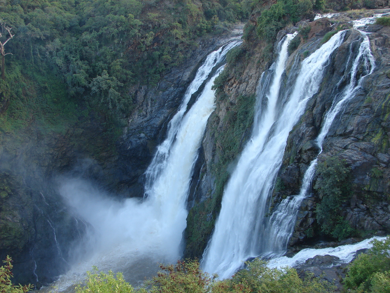
image_size = 250
image_caption = Arun River inNepal The Arun River is a river that flows through
Nepal ,Tibet andChina , becoming a tributary of theGanges . It is one of the principal tributaries of theKosi River . [cite web
url=http://links.jstor.org/sici?sici=0016-7398(192309)62%3A3%3C161%3ATGOTA%3E2.0.CO%3B2-3
title=The Gorge of the Arun
accessdate=2007-07-01] TheSaptakoshi River is the main water source of theKoshi River , the principal source of water for the Koshi River Basin. The Arun River demarcates the ancient boundary of Khambuwan and Limbuwan regions. The river is also important in the folklore of Kiranti people of eastern Nepal.In Nepal, the Kosi lies to the south of Kanchenjunga and has seven major tributaries: Sun Kosi, Tama Kosi, Dudh Kosi, Indravati, Likhu, Arun and Tamore. It has an average waterflow of 2564 cubic metres per second.Fact|date=July 2007
References
Wikimedia Foundation. 2010.