- Deep Run, North Carolina
-
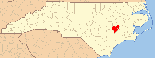
Deep Run is a town in southern Lenoir County, North Carolina, United States. The town's estimated population is 3,013.
History
The village of Deep Run was incorporated in 1925 thru 1928. The mayor of the town was Mr. Johnny Blizzard. At one time, the town was called Red Town, due to the number of houses with red tin roofs. A once thriving town, the town's charter was canceled by the North Carolina General Assembly in the 1970s, as the town failed to meet municipal standards. Today, Deep Run is still an agricultural area, with several businesses and light industries. The community provides a fire service, water and sewer, banking, and a postal route. The main thoroughfare through the area is the North Carolina Highway 11 Bypass. The town is a quiet town with no stoplights, three churches, a few small businesses, and South Lenoir High School.
Education
External links
Coordinates: 35°08′44″N 77°42′14″W / 35.14556°N 77.70389°W
Municipalities and communities of Lenoir County, North Carolina City 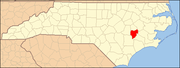
Towns Unincorporated
communityDeep Run | Tick Bite
Footnotes ‡This populated place also has portions in an adjacent county or counties
Categories:- Populated places in Lenoir County, North Carolina
- Unincorporated communities in North Carolina
Wikimedia Foundation. 2010.