Toyama Airport

Toyama Airport

Infobox Airport
name = Toyama Airport
nativename =
nativename-a = 富山空港
nativename-r = Toyama Kūkō
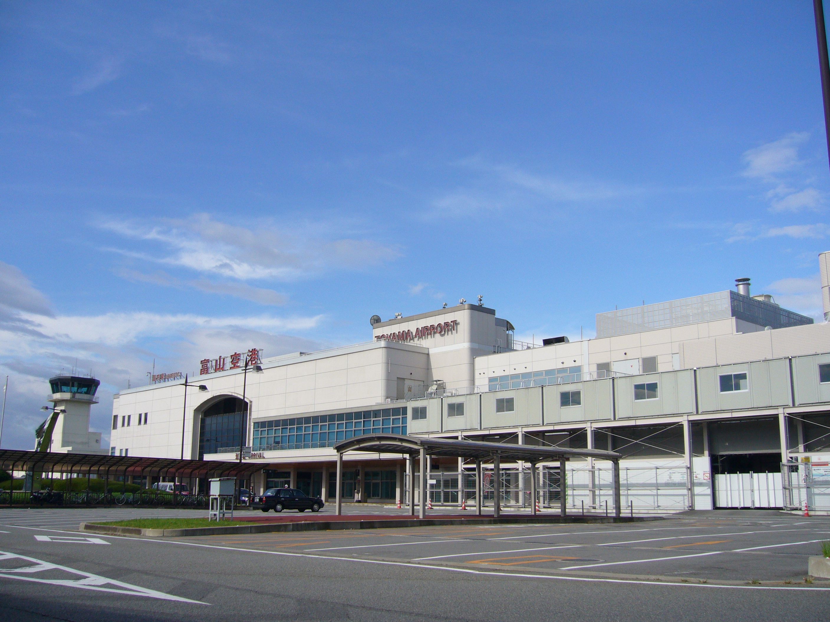


image-width =
caption =
IATA = TOY
ICAO = RJNT
type = Public
owner =
operator = N/A
city-served =
location = Toyama
elevation-f = 95
elevation-m = 29
coordinates = Coord|36|38|54|N|137|11|15|E|type:airport
website =
metric-elev =
metric-rwy =
r1-number = 02/20
r1-length-f = 6,562
r1-length-m = 2,000
r1-surface = Asphalt
stat-year =
stat1-header =
stat1-data =
stat2-header =
stat2-data =
footnotes =

nihongo|Toyama Airport|富山空港|Toyama Kūkō airport codes|TOY|RJNT is an airport in Toyama City, Toyama Prefecture, Japan, about 20 minutes by car from the city center.

Airlines and destinations

Domestic terminal

* All Nippon Airways (Sapporo-Chitose, Tokyo-Haneda)
** Air Nippon (Fukuoka)

International terminal

* Asiana Airlines (Seoul-Incheon)
* Shanghai Airlines (Shanghai-Pudong)
* China Southern Airlines (Dalian)
* Vladivostok Avia (Vladivostok)

External links

* [http://www.toyama-airport.co.jp/index.html Official website]
*WAD|RJNT


Wikimedia Foundation. 2010.

Игры ⚽ Нужно сделать НИР?

Look at other dictionaries:

  • Toyama Prefecture — Infobox Prefecture Japan Name = Toyama JapaneseName = 富山県 Rōmaji = Toyama ken Symbol = Capital = Toyama City Region = Chūbu Island = Honshū TotalArea = 4,247.22 AreaRank = 33rd PCWater = 0.1 PopDate = Estimated as of February 1, 2008 Population …   Wikipedia

  • Toyama, Toyama — Infobox City Japan Name= Toyama JapaneseName= 富山市 Map Region= Chūbu Prefecture= Toyama Prefecture District= Area km2= 1241.85 PopDate= 2005 Population= 420,804 Density km2= Coords= LatitudeDegrees= 36 LatitudeMinutes= 42 LatitudeSeconds=… …   Wikipedia

  • Dai-Ichi Hotel Toyama (Toyama) — Dai Ichi Hotel Toyama country: Japan, city: Toyama (Central) Dai Ichi Hotel Toyama Location Dai Ichi Hotel Toyama is located in front of the city s symbolic Toyama Castle Park, close to a shopping centre and the business area. From Toyama Airport …   International hotels

  • Namerikawa, Toyama — Namerikawa 滑川市   City   …   Wikipedia

  • Flughafen Toyama — 富山空港 Toyama Kūkō …   Deutsch Wikipedia

  • New Chitose Airport — Sapporo/New Chitose Airport 新千歳空港 Shin Chitose Kūkō IATA: CTS – ICAO: RJCC …   Wikipedia

  • Kansai International Airport — 関西国際空港 Kansai Kokusai Kūkō …   Wikipedia

  • Narita International Airport — 成田国際空港 Narita Kokusai Kūkō IATA: NRT – ICAO: RJAA …   Wikipedia

  • Osaka International Airport — Itami International Airport 大阪国際空港 Ōsaka Kokusai Kūkō IATA: ITM – ICAO: RJOO …   Wikipedia

  • Honolulu International Airport — Infobox Airport name = Honolulu International Airport IATA = HNL ICAO = PHNL FAA = HNL type = Public / Military owner = State of Hawaii operator = Department of Transportation city served = location = Honolulu, Hawaii elevation f = 13 elevation m …   Wikipedia

Share the article and excerpts

Direct link
Do a right-click on the link above
and select “Copy Link”