- Miscou Island
-
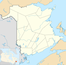
 Location of Miscou Island
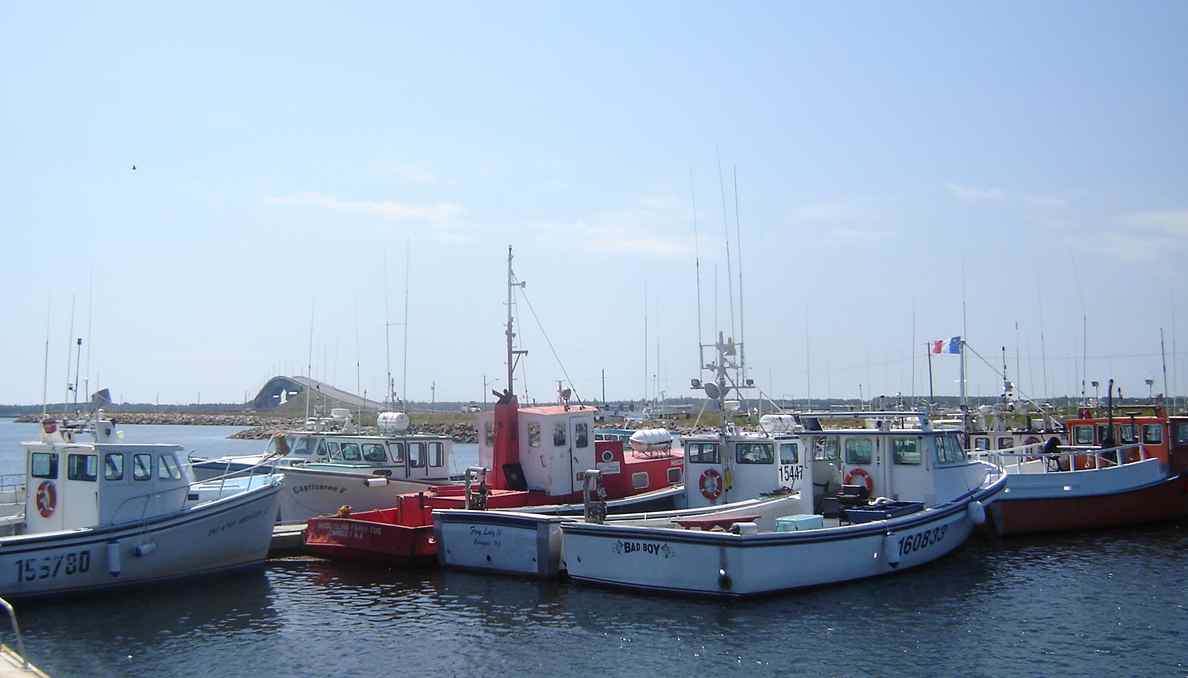
 View of fishing boats on Miscou Island, showing the Miscou Island Bridge in the background.
Miscou Island (French: Île Miscou) is a Canadian island in the Gulf of St. Lawrence at the northeastern tip of Gloucester County, New Brunswick.
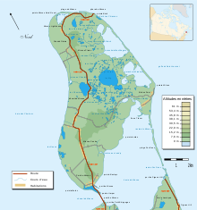 Map of Miscou Island
It is separated from neighbouring Lamèque Island to the southwest by the Miscou Channel with both islands forming Miscou Harbour. Lamèque Island and Miscou Island separate Chaleur Bay from the Gulf of Saint Lawrence.
The Miscou Channel is bridged between the community of Little Shippegan on Lamèque Island to the community of Miscou Harbour on Miscou Island by the 2000 metre Miscou Island Bridge which opened in 1996, replacing a cable ferry.
Contents
History
The Miscou Island area was one of the first areas explored by Jaques Cartier in 1534 and was a fishing base for Basque fishermen in the same period. A Jesuit mission was established at Miscou Harbour in 1634. It was an important, although seasonal, port of commerce in its early years of European exploration of Canada.
Natives were allegedly frightened to go to the island due to their legendary GouGou monster which inhabited Miscou and which they feared greatly. The natives annually overcame their fear of the monster to set up seasonal hunting camps on the island.
The first permanent settler was John Campbell who emigrated from Wales around 1815. Soon after came Robert Harper, John Marks, Thomas Cowan and Andrew Wilson, the first 3 of which married Campbell's daughters. They were followed by fishermen from the Isle of Jersey and then Acadians who settled on arable lands.
Community
Miscou has a population of approximately 650 full time residents. Most are french speaking but many are bilingual. A community center is located at Miscou Harbour.
The major industry is fishing with the mainstay being lobster and herring. Unlike neighbouring areas the peat moss on the island has not been harvested and is left in its natural state. There are several boardwalks and information areas located on the peat moss and other interesting natural habitats on the island. They are informative and well worth visiting. The island is also known for the Miscou Island Lighthouse, which was built in 1856 and is located at the northeastern tip of the island. In the summer it is open to the public for tours.
Miscou Island won a 2010 Phoenix award honouring conservation efforts in the North American tourism industry. It was described as "one of the single most beautiful spots in the world." The island's sand dunes and lagoons host a variety of migratory birds, making the island a favourite location for birding and naturalists. Miscou has recently become a favourite spot for kite-surfing.
See also
- Acadian Peninsula
- Lamèque Island
- Miscou Harbour, New Brunswick
- Shippagan, New Brunswick
External links
Categories:- Islands of New Brunswick
- Gloucester County, New Brunswick


Wikimedia Foundation. 2010.