- Florida State Road 694
-
State Road 694

Gandy Boulevard
Park BoulevardRoute information Length: 13.24 mi[1] (21.31 km)
SR 694: 6.23 mi (10.03 km)
CR 694: 7.01 mi (11.28 km)Major junctions West end:  SR 699 in Indian Shores

 Alt US 19/SR 595 in Seminole
 CR 1 in Seminole
 CR 501 in Pinellas Park

 SR A19A/SR 693 in Pinellas Park
 CR 611 in Pinellas Park
 US 19/SR 55 in Pinellas Park

 I-275/SR 93 in St. Petersburg
East end: 


 US 92/SR 600/SR 686/SR 687 in St. Petersburg
Highway system Florida State and County Roads
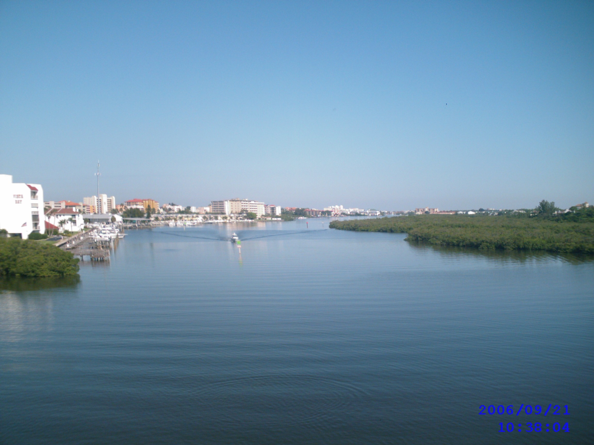
Interstate • US • SR (Pre-1945) • Toll • County (Pinellas)← SR 693SR 699 →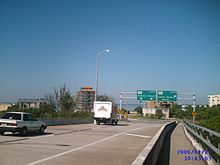 Looking west toward The Gulf of Mexico and Indian Shores, Florida from bridge over Intracoastal Waterway.
 Looking north on Pinellas County Road 694 from bridge over Intracoastal Waterway. Indian Shores, Florida on left, mangroves on right.
State Road 694 is an east–west route in Pinellas County originally running east from Indian Shores, through Seminole and into Pinellas Park; it now begins in Pinellas Park at 66th Street N, with the former road to the west becoming Pinellas County Road 694. It then turns to the northeast as it crosses US 19 in southeastern Pinellas Park and crosses into northeastern St. Petersburg, where it crosses Interstate 275. It proceeds to the northeast to the intersection with 4th Street N and Roosevelt Boulevard. The highway continues east as US 92 (unsigned SR 600) and crosses the Gandy Bridge into Tampa.
History
State Road 694 was originally visioned as a multilane freeway, running from the Gandy Bridge, to almost Gulf Boulevard, known as the Gandy Freeway. However, the plan was nixed in the 1970s due to an increasing business population. The remnants of this planned freeway are the US 19 interchange in Pinellas Park, the configuration of the I-275 interchange, and the wide median between MLK Jr St N and 4th St N.
Future
Although the possibility of a freeway west of US 19 is dead today, the possibility of Gandy Blvd becoming a freeway east of Park Blvd is actually being reconsidered in series of studies. Funding has not yet been finalized, but a recent federal transportation grant made additional funds for the freeway project available. A timetable for the project is also not finalized. If the plan goes through, there would be overpasses at 4th St N/Roosevelt Blvd and MLK St N. However, according to an FDOT representative, there will be no changes made at the interchange with I-275.[2]
References
- ^ http://www.dot.state.fl.us/planning/statistics/pdfs/fedaidreport.pdf FDOT Federal-Aid Report
- ^ St. Petersburg Times March 2, 2003
- Pinellas County Staff. Pinellas County GIS Viewer. May 9, 2006.
Categories:- State Roads in Pinellas County, Florida
- State Roads in St. Petersburg, Florida
- Florida road stubs


Wikimedia Foundation. 2010.