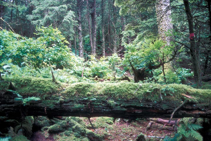
- Forrester Island Wilderness
Infobox_protected_area | name = Forrester Island Wilderness
iucn_category = Ib

caption =
locator_x =
locator_y =
location =Prince of Wales-Outer Ketchikan Census Area, Alaska , USA
nearest_city =Port Bazan, Alaska
lat_degrees = 54
lat_minutes = 48
lat_seconds = 10
lat_direction = N
long_degrees = 133
long_minutes = 31
long_seconds = 37
long_direction = W
area = convert|2832|acre|km2|0|sign=off
established = 1970
visitation_num =
visitation_year =
governing_body =US Fish and Wildlife Service Forrester Island Wilderness is a 2,832-acre (11.5 km²) wilderness area in the
U.S. state ofAlaska atForrester Island (coord|54|48|10|N|133|31|37|W). It was designated by theUnited States Congress in 1970. It is part of the Gulf of Alaska unit of theAlaska Maritime National Wildlife Refuge .The island is located off the coast of the
Alaska Panhandle , near its southernmost portion, west ofDall Island , in the Prince of Wales-Outer Ketchikan Census Area. According to the Census Bureau the island has a land area of 10.29 km² (3.973 sq mi).ee also
*
List of U.S. Wilderness Areas
*Wilderness Act References
* [http://factfinder.census.gov/servlet/DTTable?_bm=y&-PANEL_ID=p_dt_geo_map&-ds_name=DEC_2000_SF1_U&-CONTEXT=dt&-mt_name=DEC_2000_SF1_U_P001&-transpose=N&-errMsg=&-redoLog=false&-geo_id=100$10000US022010001003082&-_showChild=Y&-format=&-_lang=en&-show_geoid=Y&-search_map_config=|b=50|l=en|t=4001|zf=0.0|ms=sel_00dec|dw=1.5768671051593737|dh=0.6798521167996193|dt=gov.census.aff.domain.map.EnglishMapExtent|if=gif|cx=-133.52376247033357|cy=54.80210386486599|zl=6|pz=6|bo=318:317:316:404:315:314:313:319|bl=393:392:358:357:356:355:354:385|ft=340:339:338:335|fl=373:372:204:399|g=100$10000US022010001003082 Forrester Island: Block 3082, Census Tract 1, Prince of Wales-Outer Ketchikan Census Area, Alaska] United States Census Bureau
External links
* [http://www.wilderness.net/index.cfm?fuse=NWPS&sec=wildView&wname=Forrester%20Island%20Wilderness Forrester Island Wilderness] - Wilderness.net
Wikimedia Foundation. 2010.
