- Miscouche, Prince Edward Island
-
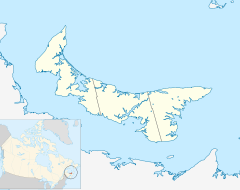
 Location of Miscouche in Prince Edward Island
Miscouche (2001 population: 766) is a Canadian rural community in Prince County, Prince Edward Island
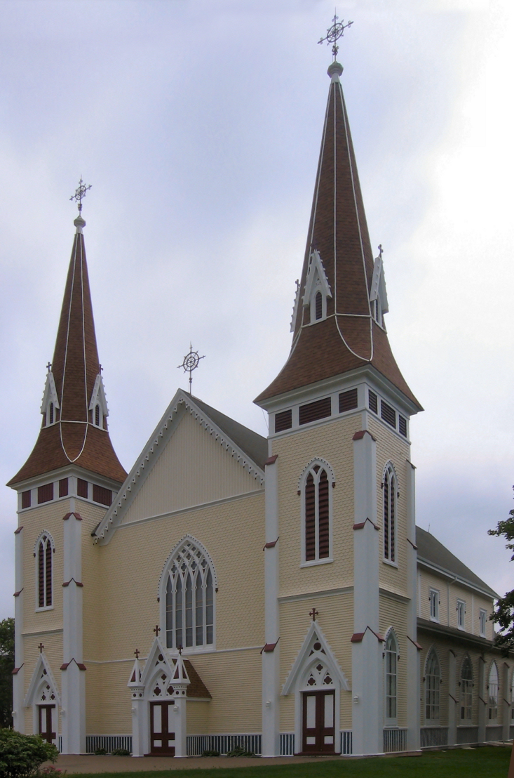
 St. John the Baptist Church in Miscouche, erected in 1892
Incorporated in 1957, Miscouche is located 6 miles west of the city of Summerside. Its name is derived from the Mi'kmaq term for "little grassy island".
Miscouche is east to the Evangeline Region, the province's largest francophone area comprising numerous Acadian settlements; 15% of Miscouche's population is considered francophone. Miscouche also serves as a service center for some nearby rural communities, including Belmont, Central Lot 16, Southwest Lot 16, Grand River, St. Nicolas, and Linkletter.
History
The Second Acadian National Convention was held in Miscouche in 1884, and was attended by approximately 5,000 Acadian delegates from across the Maritimes. The Convention saw the adoption of nearly all Acadian national symbols, including the Acadian flag. Because Miscouche hosted this historic convention, it was decided in 1964 that the Acadian Museum of Prince Edward Island be constructed next to the church. The Museum has been housed in a much larger facility since 1991 (still located on the same location as the former museum) and since 1996 it has served as one of the seven sites of Museum & Heritage Prince Edward Island, a division of the provincial Department of Community, Cultural Affairs and Labour.
St. John the Baptist Roman Catholic Church is one of the oldest wooden churches in Prince Edward Island. It features a historic Casavant organ. Extensive renovations were completed in recent years to restore much of the previous grandeur of the building.
The school
Miscouche Consolidated School was established in 1977. Grades 1 through 9 are taught, with grades 10-12 taught at Three Oaks Senior High in Summerside.
External links
Coordinates: 46°25′57.54″N 63°52′4.14″W / 46.43265°N 63.8678167°W
 Subdivisions of Prince Edward Island
Subdivisions Cities Towns Categories:- Communities in Prince County, Prince Edward Island
- Prince Edward Island geography stubs

Wikimedia Foundation. 2010.