- Ognon (Franche-Comté)
-
Ognon 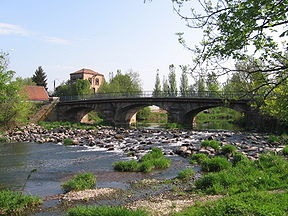
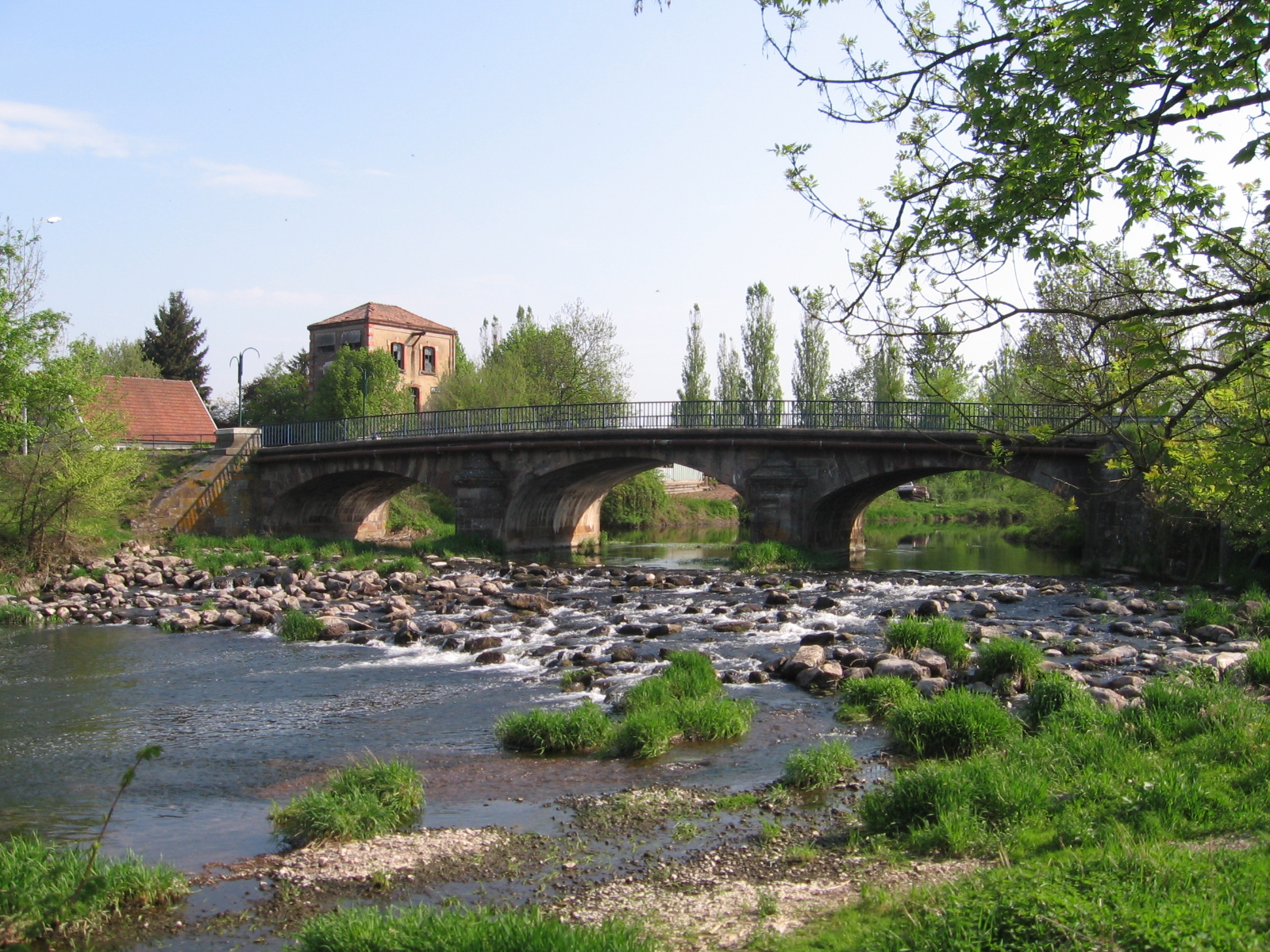
The Ognon near Lure.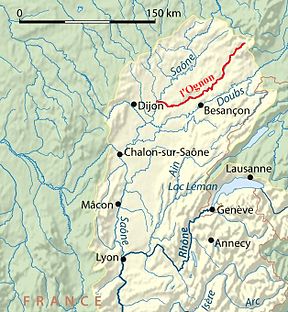
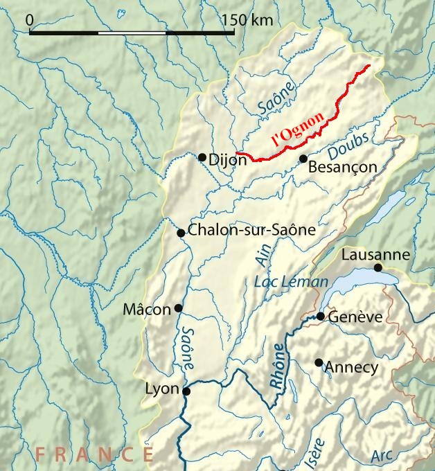
Map and LocationOrigin Vosges mountains Mouth Saône
47°18′51″N 5°26′4″E / 47.31417°N 5.43444°ECoordinates: 47°18′51″N 5°26′4″E / 47.31417°N 5.43444°EBasin countries France Length 214 km Source elevation ±900 m Avg. discharge 36 m³/s Basin area 2,075 km² The Ognon is a river of eastern France. It is a left tributary of the Saône, which it joins in Pontailler-sur-Saône. Its source is in the Vosges mountains near the Ballon d'Alsace.
The Ognon flows through the following départements and towns:
- Haute-Saône: Mélisey, Lure, Villersexel, Pesmes
- Doubs: Rougemont
- Jura:
- Côte-d'Or: Pontailler-sur-Saône
Tributaries
Some of its tributaries include:
- The Rahin
- The Scey
- The Reigne
- The Buthiers
References
Categories:- Rivers of France
- Côte-d'Or
- Doubs
- Haute-Saône
- Jura
- Rhone basin
- Franche-Comté geography stubs
Wikimedia Foundation. 2010.