- Cerro Maravilla
-
Cerro Maravilla 
Cerro Maravilla Incident Memorial Stone, near peakElevation 3,953 ft (1,205 m) [1] Location Ponce, Puerto Rico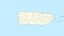
 Cerro Maravilla
Range Cordillera Central Coordinates 18°09′11″N 66°33′15″W / 18.15306°N 66.55417°WCoordinates: 18°09′11″N 66°33′15″W / 18.15306°N 66.55417°W Climbing Easiest route road - This article is about the mountain in Puerto Rico. For the killings that occurred on the mountain in 1978, see Cerro Maravilla Incident.
Cerro Maravilla is Puerto Rico's fourth highest peak[2] at 3,953 feet (1,205 m). It is located east of Barrio Anón in Ponce,[3] on the border between the municipalities of Ponce and Jayuya[4] in the southern area of the island, and is part of the Cordillera Central (Central Mountain Range).
Contents
Cerro Maravilla incident
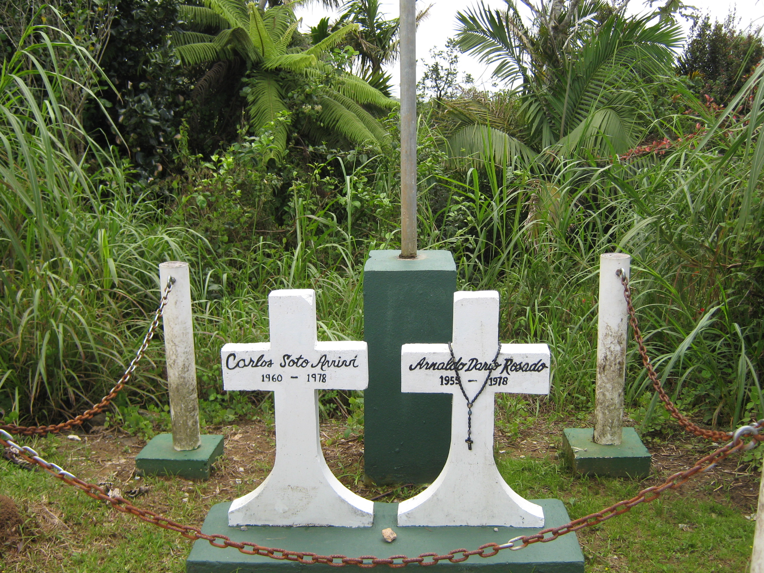
The peak might be best known for being the place where two Puerto Rico independence activists were slain on July 25, 1978 in a police ambush (see Cerro Maravilla Incident.) This controversy has since turned the mountain into a meeting point for supporters of the independence of the Puerto Rican Commonwealth to gather annually to remember the murdered activists and condemn the current colonial status.
The beauty of Maravilla
The height of the mountain makes for some interesting sights. For example, on clear days both the northern and southern coasts of the island can be appreciated simultaneously. In the winter season, the air is crisp and the temperature at night will usually fluctuate between the 60s and 40s in degrees Fahrenheit. The chirping of the familiar "coquies" is prominent after nightfall.
Cerro Maravilla[5] (Climate - [Cfb] Subtropical Highland) Climate chart (explanation) J F M A M J J A S O N D 1022013912013110201317821142822115169231614723162432316356231637323162072215972114Average max. and min. temperatures in °C Precipitation totals in mm Imperial conversion J F M A M J J A S O N D 468563.668554.36956770571170596.773615.873619.673621474611573618.171593.87057Average max. and min. temperatures in °F Precipitation totals in inches See also
References
- ^ "Elevations and Distances in the United States". U.S Geological Survey. 29 April 2005. http://erg.usgs.gov/isb/pubs/booklets/elvadist/elvadist.html#Highest. Retrieved November 9, 2006.
- ^ Puerto Rico's Forest Reserves and Wildlife Sanctuaries: Mountain Forests. El Yunque.com It is Puerto Rico's 4th highest peak. Retrieved November 27, 2009.
- ^ Historia de Nuestros Barrios: Barrio Anón, Ponce. Rafael Torrech San Inocencio. El Sur a la Vista. Ponce, Puerto Rico. 18 October 2010. Retrieved 2 September 2011.
- ^ US Geological Survey
- ^ http://www.srh.noaa.gov/sju/?n=climo_adjuntas
Categories:- Jayuya, Puerto Rico
- Mountains of Puerto Rico
- Ponce, Puerto Rico
- Puerto Rico geography stubs

Wikimedia Foundation. 2010.