- D'Urville Island, New Zealand
-
D'Urville Island Rangitoto Ki Te Tonga (Māori) 
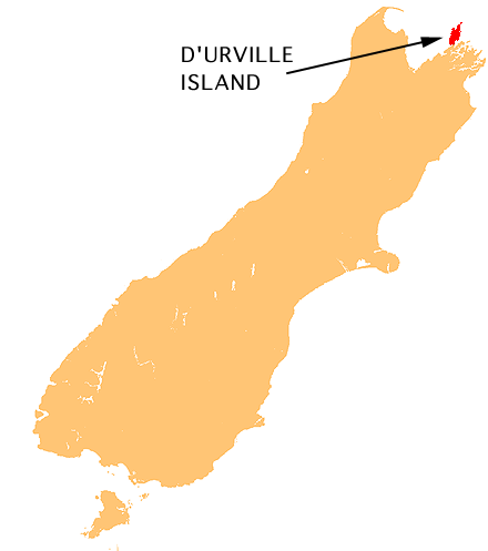
Location of D'Urville Island.Geography Coordinates 40°50′S 173°52′E / 40.833°S 173.867°E Area 58 sq mi (150 km2) Country Demographics Population 52 D'Urville Island is an island in the Marlborough Sounds along the northern coast of the South Island of New Zealand. It was named after the French explorer Jules Dumont d'Urville. With an area of approximately 58 square miles (150 km2), it is the eighth-largest island of New Zealand, and has around 52 permanent residents.[1]
The Māori name is Rangitoto Ki Te Tonga. The local tribes are Ngāti Koata and Ngāti Kuia.
Contents
French Pass
The island is separated from the mainland by the dangerous French Pass, known to Māori as Te Aumiti, through which water passes at up to 8 knots (15 km/h; 9.2 mph) at each tide. Several vortices occur near this passage. D'Urville investigated the passage for several days in 1827, and damaged his ship passing through it.[1]
Coordinates: 40°50′S 173°52′E / 40.833°S 173.867°E
See also
- Islands of New Zealand
- List of places named after people
References
- ^ a b Gerard Hindmarsh (2006). "Discovering D'Urville". Heritage New Zealand. http://www.historic.org.nz/en/Publications/HeritageNZMagazine/HeritageNz2006/HNZ06-DiscoveringDUrville.aspx. Retrieved 13 January 2011.
External links
Categories:- Islands of New Zealand
- Marlborough Region
- Marlborough Region geography stubs
Wikimedia Foundation. 2010.