- Oostbuurt
-
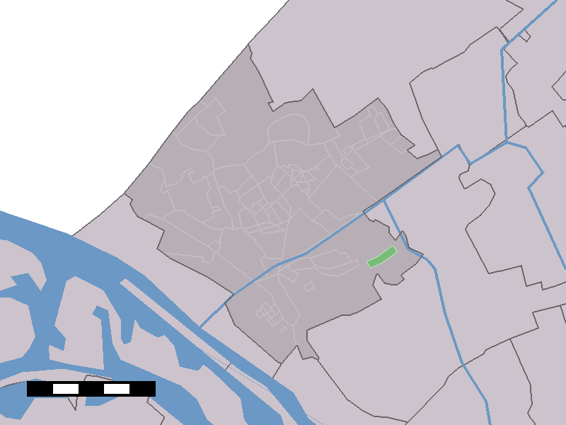
Oostbuurt — Hamlet —  Oostbuurt in the municipality of Westland.
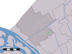
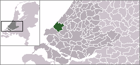
Coordinates: 51°58′01″N 4°16′23″E / 51.96694°N 4.27306°ECoordinates: 51°58′01″N 4°16′23″E / 51.96694°N 4.27306°E Country Netherlands Province South Holland Municipality Midden-Delfland Population (2007) - Total 140 Time zone CET (UTC+1) - Summer (DST) CEST (UTC+2) Postal code Oostbuurt is a town in the Dutch province of South Holland. It is a part of the municipality of Westland, and lies about 6 km north of Maassluis.
The statistical area "Oostbuurt", which also can include the surrounding countryside, has a population of around 150.[1]
References
- ^ Statistics Netherlands (CBS), Statline: Kerncijfers wijken en buurten 2003-2005. As of 1 January 2005.
Categories:- Populated places in South Holland
- South Holland geography stubs
Wikimedia Foundation. 2010.