- Oostvoorne
-
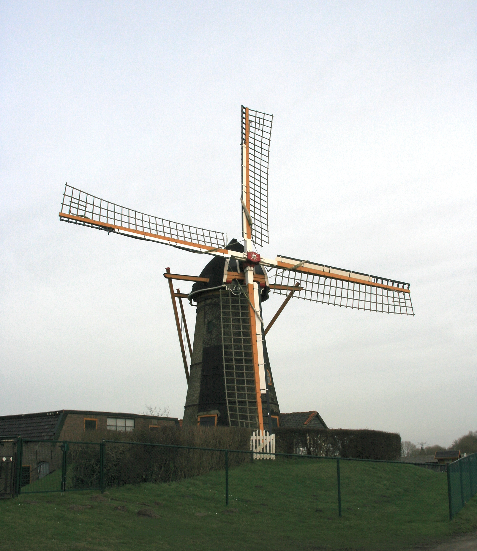
Oostvoorne — Town — Oostvoornse molen

Flag
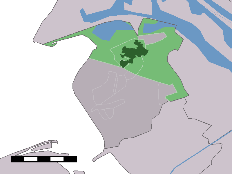
Coat of arms The town centre (dark green) and the statistical district (light green) of Oostvoorne in the municipality of Westvoorne.
Coordinates: 51°54′43″N 4°6′3″E / 51.91194°N 4.10083°ECoordinates: 51°54′43″N 4°6′3″E / 51.91194°N 4.10083°E Country Netherlands Province South Holland Municipality Westvoorne Population (1 January 2005) - Total 7,680 Time zone CET (UTC+1) - Summer (DST) CEST (UTC+2) Postal code 3233 Oostvoorne is a town in the Dutch province of South Holland. It is a part of the municipality of Westvoorne, and lies about 9 km north of Hellevoetsluis.
In 2001, the town of Oostvoorne had 5403 inhabitants, the built-up area of the town was 1.9 km², and contained 2274 residences.[1] The statistical area "Oostvoorne", which also can include the peripheral parts of the village, as well as the surrounding countryside, has a population of around 7270.[2]
Oostvoorne was a separate municipality until 1980, when it became part of Westvoorne.[3]
Oostvoorne was since before World War II the only location in the Netherlands were automobiles were permitted on the beach. In 1992 it was proposed to close the beach to cars resulting in consultations and negotiations lasting many years. The provincial government finally decided to close it permanently on October 15, 2004.
In the centre of Oostvoorne are the ruins of a motte-and-bailey castle, built around the second half of the 12th century by the Lords of Voorne.
 Oostvoorne in 1866.
References
- ^ Statistics Netherlands (CBS), Bevolkingskernen in Nederland 2001. (Statistics are for the continuous built-up area).
- ^ Statistics Netherlands (CBS), Statline: Kerncijfers wijken en buurten 2003-2005. As of January 1, 2005.
- ^ Ad van der Meer and Onno Boonstra, Repertorium van Nederlandse gemeenten, KNAW, 2006.
Categories:- Populated places in South Holland
- Former municipalities of South Holland
- South Holland geography stubs


Wikimedia Foundation. 2010.