- Molenaarsgraaf
-
Molenaarsgraaf — Village — Molenaarsgraaf, the village
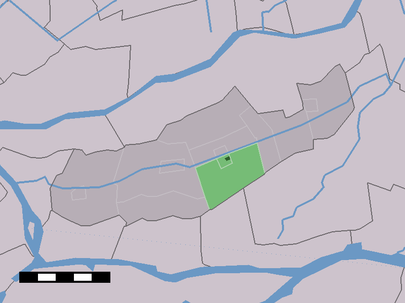
 The village centre (dark green) and the statistical district (light green) of Molenaarsgraaf in the municipality of Graafstroom.
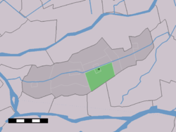
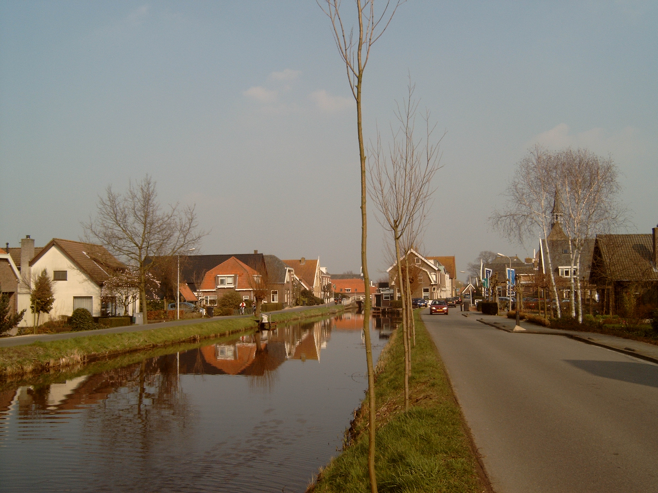
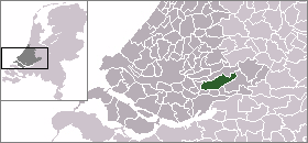
Coordinates: 51°53′N 4°50′E / 51.883°N 4.833°ECoordinates: 51°53′N 4°50′E / 51.883°N 4.833°E Country Netherlands Province Zuid-Holland Municipality Graafstroom Population - Total 1,086 Time zone CET (UTC+1) - Summer (DST) CEST (UTC+2) Postal code Molenaarsgraaf is a village in the Dutch province of South Holland. It is a part of the municipality of Graafstroom, and lies about 11 km west of Gorinchem.
In 2001, the village of Molenaarsgraaf had 414 inhabitants. The built-up area of the village was 0.041 km², and contained 143 residences.[1] The statistical area "Molenaarsgraaf", which also can include the peripheral parts of the village, as well as the surrounding countryside, has a population of around 1110.[2]
Molenaarsgraaf was a separate municipality until 1986, when it became part of Graafstroom.[3] The village contains the War Grave of a RAF Pathfinder Lancaster crew less the pilot (who parachuted to safety). Their names are recorded in Commonwealth War Graves web site as being killed 22 May 1944. It is understood that their aircraft was shot down by a German night fighter.
References
- ^ Statistics Netherlands (CBS), Bevolkingskernen in Nederland 2001. (Statistics are for the continuous built-up area).
- ^ Statistics Netherlands (CBS), Statline: Kerncijfers wijken en buurten 2003-2005. As of 1 January 2005.
- ^ Ad van der Meer and Onno Boonstra, Repertorium van Nederlandse gemeenten, KNAW, 2006.
External links
- J. Kuyper, Gemeente Atlas van Nederland, 1865-1870, "Molenaarsgraaf". Map of the former municipality, around 1868.
Categories:- Populated places in South Holland
- Former municipalities of South Holland
- South Holland geography stubs
Wikimedia Foundation. 2010.