- Munnekemoer
-
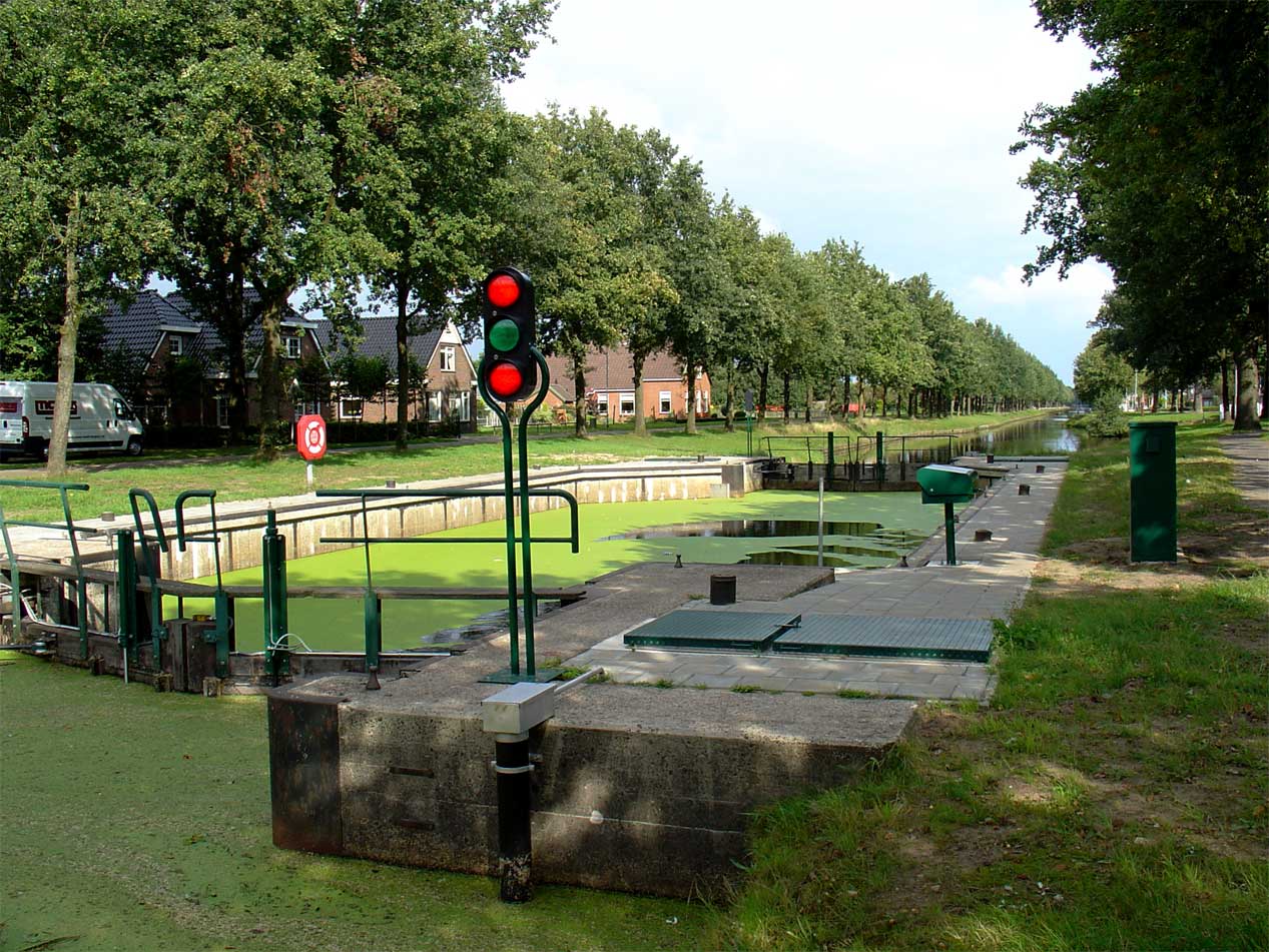
Munnekemoer — Town — Munnekemoer bij de 8e verlaat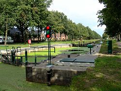
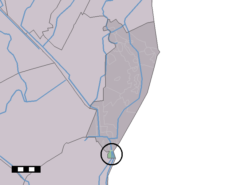
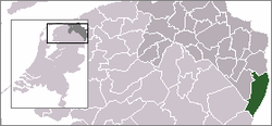 The village (dark green) and the statistical district (light green) of Munnekemoer in the municipality of Vlagtwedde.
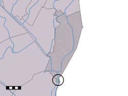
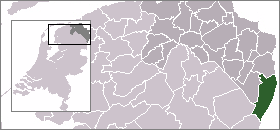
Coordinates: 52°50′38″N 7°4′57″E / 52.84389°N 7.0825°ECoordinates: 52°50′38″N 7°4′57″E / 52.84389°N 7.0825°E Country Netherlands Province Groningen Municipality Vlagtwedde Population (1 January 2005) – Total 180 Time zone CET (UTC+1) – Summer (DST) CEST (UTC+2) Postal code Munnekemoer is a town in the Dutch province of Groningen. It is a part of the municipality of Vlagtwedde, and lies about 14 km northeast of Emmen.
The statistical area "Munnekemoer", which also can include the surrounding countryside, has a population of around 180.[1]
References
- ^ Statistics Netherlands (CBS), Statline: Kerncijfers wijken en buurten 2003-2005. As of 1 January 2005.
Categories:- Populated places in Groningen (province)
- Groningen geography stubs
Wikimedia Foundation. 2010.