- Gilgit Airport
-
Gilgit Airport 
IATA: GIL – ICAO: OPGT Location of airport in Pakistan
 GIL
GILSummary Airport type Public Operator Pakistan Civil Aviation Authority Serves Gilgit, Gilgit-Baltistan, Pakistan Elevation AMSL 4,796 ft / 1,462 m Coordinates Coordinates: 35°55′07″N 074°20′01″E / 35.91861°N 74.33361°E Runways Direction Length Surface m ft 07/25 1,646 5,400 Asphalt Sources: AIP Pakistan[1] and DAFIF[2][3] Gilgit Airport (IATA: GIL, ICAO: OPGT) is a small domestic airport situated 1.25 nm (2.3 km) east of Gilgit[1], a city in the Gilgit-Baltistan region of Pakistan. The city of Gilgit is one of the two major hubs for all mountaineering expeditions in the Northern Areas of Pakistan. Many tourists choose to travel to Gilgit by air since the road travel between Islamabad and Gilgit by Karakoram Highway takes nearly 15 hours, whereas the air travel takes only about an hour.
Contents
Structure
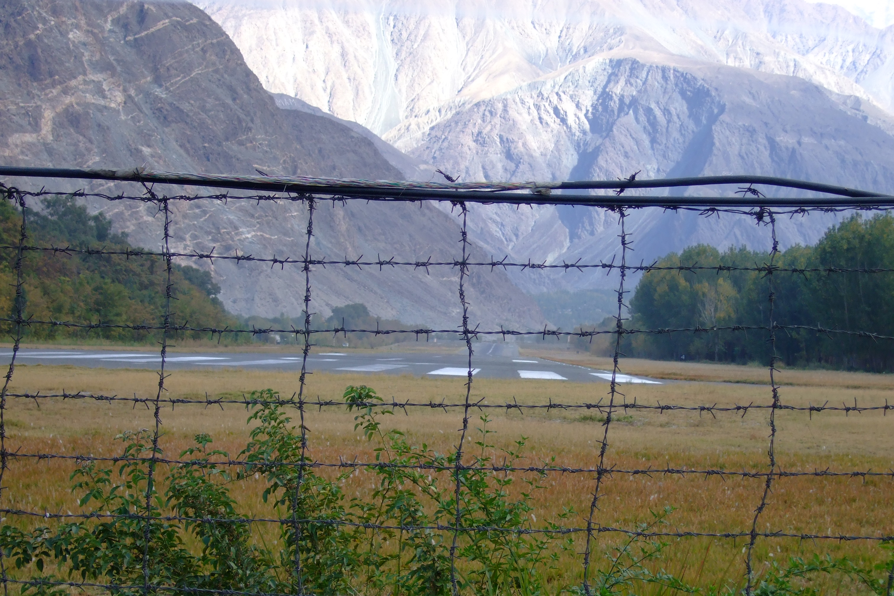
Due to the short runway at Gilgit airport that is located at the edge of a slope, even an aircraft as small as a Boeing 737 aircraft cannot land and take-off at the Gilgit Airport. Currently PIA operates French and Italian ATR 42 aircraft on the Gilgit-Islamabad route. Other aircraft that operate at the airport include the military C-130 aircraft.
Airlines and destinations
Airlines Destinations Pakistan International Airlines Islamabad, Skardu See also
- List of airports in Pakistan
- Airlines of Pakistan
- Transport in Pakistan
- Pakistan Civil Aviation Authority
References
- ^ a b AIP Pakistan: OPGT – Gilgit
- ^ Airport information for OPGT at World Aero Data. Data current as of October 2006.Source: DAFIF.
- ^ Airport information for GIL at Great Circle Mapper. Source: DAFIF (effective Oct. 2006).
External links
International Domestic Chitral (CJL/OPCH) · Dalbandin (DBA/OPDB) · Dera Ismail Khan (DSK/OPDI) · Gilgit (GIL/OPGT) · Hyderabad (HDD/OPKD) · Kadanwari (KCF/OP**) · Mangla (XJM/OPMA) · Moenjodaro (MJD/OPMJ) · Nawabshah (WNS/OPNH) · Panjgur (PJG/OPPG) · Parachinar (PAJ/OPPC) · Pasni (PSI/OPPI) · Sawan (RZS/OP**) · Sehwan (SYW/OPSN) · Sialkot Cantonment (OPRQ) · Skardu (KDU/OPSD) · Sui (SUL/OPSD) · Sukkur (SKZ/OPSK) · Zhob (PZH/OPZB)
Categories:- Airports in Pakistan
- Pakistani airport stubs

Wikimedia Foundation. 2010.