- Zielona Góra County
Infobox Settlement
name = Zielona Góra County
native_name = Powiat zielonogórski
settlement_type =
image_shield = POL powiat zielonogórski COA.svg
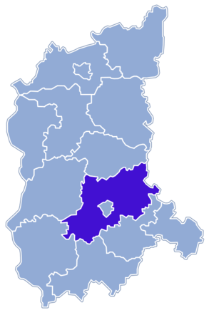
map_caption = Location within the voivodeship
subdivision_type = Country
subdivision_name = POL
subdivision_type1 = Voivodeship
subdivision_name1 = Lubusz
area_total_km2 = 1570.64
population_total = 89543
population_as_of = 2006
population_density_km2 = auto
population_urban = 34827
population_blank1_title = Rural
population_blank1 = 54716
coor_type = Zielona Góra
latd = 51
latm = 56
lats = 23
latNS = N
longd = 15
longm = 30
longs = 18
longEW = E
seat =Zielona Góra
parts_type =Gmina s
parts = Total 10
p1 =Gmina Babimost
p2 =Gmina Bojadła
p3 =Gmina Czerwieńsk
p4 =Gmina Kargowa
p5 =Gmina Nowogród Bobrzański
p6 =Gmina Sulechów
p7 = Gmina Świdnica
p8 =Gmina Trzebiechów
p9 =Gmina Zabór
p10 =Gmina Zielona Góra
blank_name = Car plates
blank_info = FZI
website = http://www.powiat.zgora.pl __NOTOC__Zielona Góra County ( _pl. powiat zielonogórski) is a unit of territorial administration and local government (powiat ) inLubusz Voivodeship , westernPoland . It was created on January 1, 1999 as a result of the Local Government Reorganization Act of 1998. Its administrative seat is the city ofZielona Góra , although the city is not part of the county (it constitutes a separate city county). The county contains five towns:Sulechów , which lies convert|18|km|mi|0|abbr=on north-east of Zielona Góra,Nowogród Bobrzański , which lies convert|25|km|mi|0|abbr=on south-west of Zielona Góra,Babimost , which lies convert|32|km|mi|0|abbr=on north-east of Zielona Góra,Czerwieńsk , which lies convert|11|km|mi|0|abbr=on north-west of Zielona Góra, andKargowa , convert|29|km|mi|0|abbr=on north-east of Zielona Góra.The county covers an area of convert|1570.64|km2|sqmi|1. As of 2006 its total population is 89,543, out of which the population of Sulechów is 17,862, that of Nowogród Bobrzański is 5,036, that of Babimost is 4,150, that of Czerwieńsk is 4,138, that of Kargowa is 3,641, and the rural population is 54,716.
Neighbouring counties
Apart from the city of
Zielona Góra , Zielona Góra County is also bordered byŚwiebodzin County to the north,Nowy Tomyśl County to the north-east,Wolsztyn County to the east,Nowa Sól County to the south-east,Żagań County to the south,Żary County to the south-west andKrosno Odrzańskie County to the west.Administrative division
The county is subdivided into 10
gmina s (five urban-rural and five rural). These are listed in the following table, in descending order of population.References
* [http://www.stat.gov.pl/gus/45_655_PLK_HTML.htm Polish official population figures 2006]


Wikimedia Foundation. 2010.