- Manastash Ridge
-
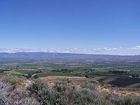 View from Manastash Ridge facing towards Ellensburg, Washington with Cascade Range in the background.
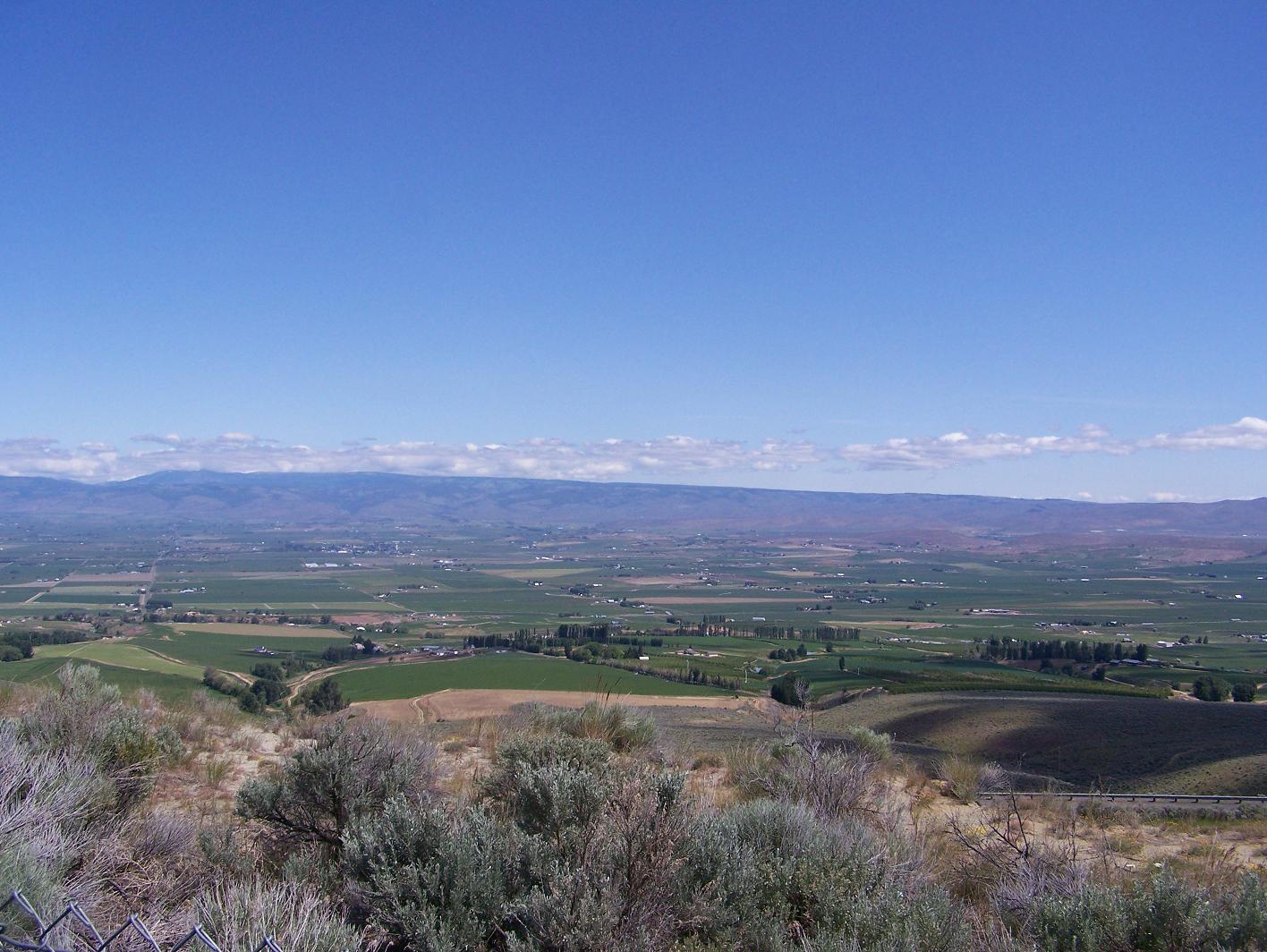
Manastash Ridge is a long anticline mountain ridge located in central Washington state in the United States. Manastash Ridge runs mostly west-to-east in Kittitas and Yakima counties, for approximately 50 miles. The ridge is part of the Yakima Fold Belt of east-tending long ridges formed by the folding of Miocene Columbia River basalt flows.[1]
The highest point in Manastash Ridge is Manastash Peak at 6,335 feet (1,931 m), located 22.4 miles (36.0 km) west of Ellensburg, Washington.[2] Interstate 82 crosses through the eastern portion of the ridge; the Manastash Ridge Summit is located at milepost 7 of the interstate (south of Ellensburg) or about 24 miles (39 km) north of Yakima, Washington at an elevation of 2,672 feet (814 m).
In addition to Manastash Peak, Manastash Ridge includes the peaks of Quartz Mountain (6,289 feet (1,917 m)), Mount Clifty (6,243 feet (1,903 m)), and Lookout Mountain (6,188 feet (1,886 m)). The astronomy department of the University of Washington maintains the Manastash Ridge Observatory, located about 9 miles (14 km) west-southwest of Ellensburg.
See also
- Rattlesnake Hills
- Ahtanum Ridge
- Umtanum Ridge
- Horse Heaven Hills
- Olympic-Wallowa Lineament
- Mel's Hole
References
- ^ Complete Report for Saddle Mountains structures, USGS Earthquake Hazards Program
- ^ Manastash Peak, Bivouac.com
External links
- Manastash Ridge road conditions
- Bivouac.com - Canadian Mountain Encyclopedia - Manastash Region page
- Manastash Ridge Observatory page
- U.S. Geological Survey Geographic Names Information System: Manastash Ridge
Coordinates: 46°51′28″N 120°20′52″W / 46.85778°N 120.34778°W
Categories:- Mountain ranges of Washington (state)
- Landforms of Kittitas County, Washington
- Landforms of Yakima County, Washington
- Ridges of the United States
Wikimedia Foundation. 2010.