- Diekholzen
-
Diekholzen 
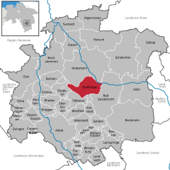
Coordinates 52°06′N 9°56′E / 52.1°N 9.93333°ECoordinates: 52°06′N 9°56′E / 52.1°N 9.93333°E Administration Country Germany State Lower Saxony District Hildesheim Mayor Jürgen Meier (CDU) Basic statistics Area 30.21 km2 (11.66 sq mi) Population 6,736 (31 December 2010)[1] - Density 223 /km2 (577 /sq mi) Other information Time zone CET/CEST (UTC+1/+2) Licence plate HI Postal code 31199 Area codes 05121 and 05064 Website www.diekholzen.de Diekholzen is a village and a municipality in the district of Hildesheim, in Lower Saxony, Germany. It is situated approx. 7 km southwest of Hildesheim on the Beuster, a tributary of the Innerste.
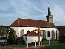
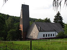
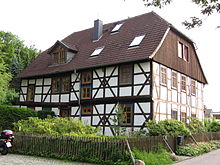
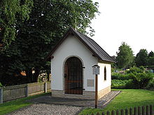
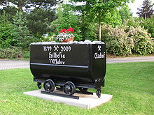
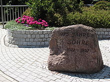
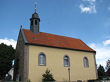
In 1974, the former villages of Diekholzen, Söhre, Barienrode and Egenstedt were united to form the municipality of Diekholzen. Each village has its own history and various sights. Most of the inhabitants are Roman catholics. The largest village of the municipality is Diekholzen with an administration building, a school, a hospital, several shops, a supermarket, some restaurants and a hotel. Several times a day, each village of the municipality is accessible from Hildesheim and from Alfeld by bus.
References
- ^ "Bevölkerungsfortschreibung" (in German). Landesbetrieb für Statistik und Kommunikationstechnologie Niedersachsen. 31 December 2009. http://www1.nls.niedersachsen.de/statistik/html/parametereingabe.asp?DT=K1000014&CM=Bev%F6lkerungsfortschreibung.
Adenstedt | Alfeld | Algermissen | Almstedt | Bad Salzdetfurth | Banteln | Betheln | Bockenem | Brüggen | Coppengrave | Despetal | Diekholzen | Duingen | Eberholzen | Eime | Elze | Everode | Freden | Giesen | Gronau | Harbarnsen | Harsum | Hildesheim | Holle | Hoyershausen | Lamspringe | Landwehr | Marienhagen | Neuhof | Nordstemmen | Rheden | Sarstedt | Schellerten | Sehlem | Sibbesse | Söhlde | Weenzen | Westfeld | Winzenburg | WoltershausenCategories:- Municipalities in Lower Saxony
- Hanover region geography stubs
Wikimedia Foundation. 2010.


