- Innerste
Infobox River
river_name = Innerste
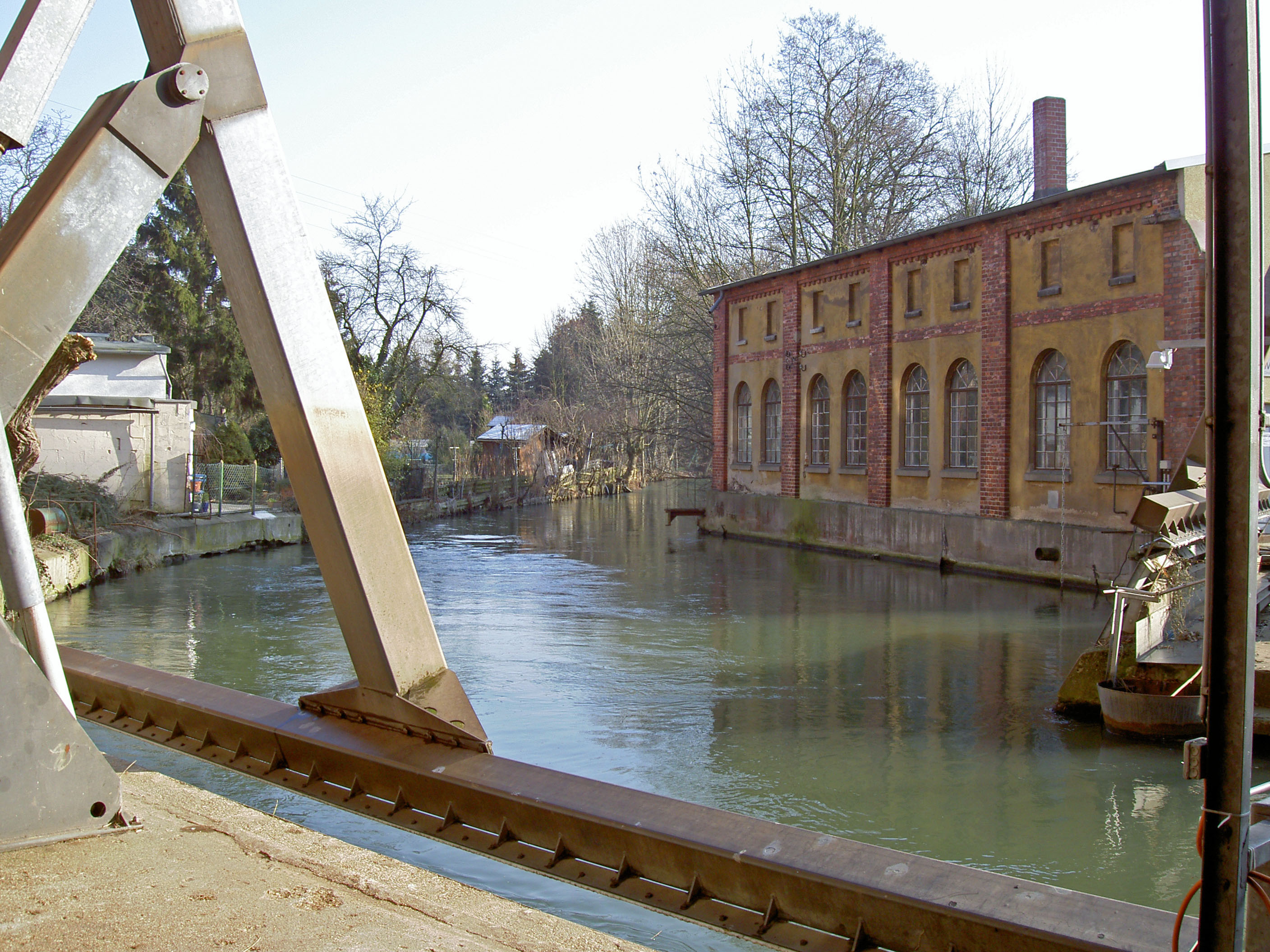
caption = The Innerste in Sarstedt.
origin =Harz
mouth =Leine
basin_countries =Germany
length = 95 km
elevation = 615 m
discharge = ±10 m³/s
watershed = 1,300 km²The Innerste is a river inLower Saxony ,Germany . It is a right tributary of theLeine river and 95 km in length.The river's source is in the
Harz mountains, 4 km from the town ofClausthal-Zellerfeld to the Southwest. The place is at an elevation of 615 m, it is called "Innerstesprung" in German. As a small brook, the Innerste flows to the West and passes a system of lakes the first of which is called "Entensumpf".Having passed
Wildemann (390 m), one of the smallest towns in Germany, the Innerste turns to the North toLautenthal (300 m), another town on its course and flows parallel to an abandoned railway track. NearLautenthal the Innerste isdam med (the "Innerstetalsperre"). When the dam was built 1963-1966, a nice lake for holidays and watersports was created. A few kilometers further on, the Innerste leaves the Harz Mountains near the town ofLangelsheim (204 m) and turns to the Northwest. The first tributary is river Grane (12 km in length).From here, the Innerste flows through the "Harzvorland", a hilly countryside. Further tributaries are river Nette (42 km in length), river Lamme (21 km in length), river Bruchgraben, river Neile and river Beuster (12 km in length). Some more towns on its course are the southern quarters of
Salzgitter andHildesheim . The Innerste passesMarienburg Castle, the centre ofHildesheim (90 m) andSteuerwald Castle in the North of the City.In the North of Hildesheim, the Innerste enters the "Norddeutsche Tiefebene", a large plain. About 18 km further on, it flows into the Leine near the town of
Sarstedt , south ofHanover , at an elevation of 65 m.
Wikimedia Foundation. 2010.