- Comandante FAP Germán Arias Graziani Airport
-
Comandante FAP Germán Arias Graziani Airport IATA: ATA – ICAO: SPHZ Location of airport in Peru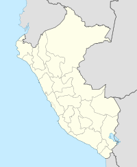
 ATA
ATASummary Airport type Public Operator ADP Elevation AMSL 9,097 ft / 2,773 m Coordinates 09°20′50″S 77°35′54″W / 9.34722°S 77.59833°WCoordinates: 09°20′50″S 77°35′54″W / 9.34722°S 77.59833°W Runways Direction Length Surface ft m 16/34 10,007 3,050 Asphalt Comandante FAP Germán Arias Graziani Airport (IATA: ATA, ICAO: SPHZ) is a small regional airport serving Huaraz, Peru. The airport is located 66 km northwest of the city, in the village of Anta, and is currently served by only one scheduled airline, LC Busre, but also receives many private and charter flights. Comandante FAP Germán Arias Graziani Airport cannot receive large aircraft due to its complicated geographic location.
Airlines and destinations
Airlines Destinations LC Busre Lima Categories:- Airports in Peru
- South American airport stubs
- Peru geography stubs

Wikimedia Foundation. 2010.