- Tnte. FAP Jaime Montreuil Morales Airport
-
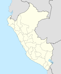
Teniente FAP Jaime Montreuil Morales Airport IATA: CHM – ICAO: SPEO Location of airport in Peru Summary Airport type Public Operator CORPAC S.A. Location Chimbote Elevation AMSL 69 ft / 21 m Coordinates 09°08′59″S 78°31′26″W / 9.14972°S 78.52389°WCoordinates: 09°08′59″S 78°31′26″W / 9.14972°S 78.52389°W Runways Direction Length Surface ft m 01/19 5,905 1,800 Asphalt Teniente FAP Jaime Montreuil Morales Airport (IATA: CHM, ICAO: SPEO) is an airport serving Chimbote, Peru. It is an important airport in the Ancash Region. It is operated by the civil government and handles many government planes. It will be served by LC Busre since March 15. The airport is rather small compared to the huge nearby naval port.
Airlines and destinations
Airlines Destinations LC Busre Lima External links
- Airport information for SPEO at World Aero Data. Data current as of October 2006.
Categories:- Airports in Peru
- South American airport stubs
- Peru geography stubs
Wikimedia Foundation. 2010.

