- Planisphere
-
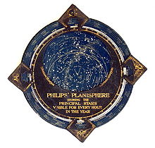
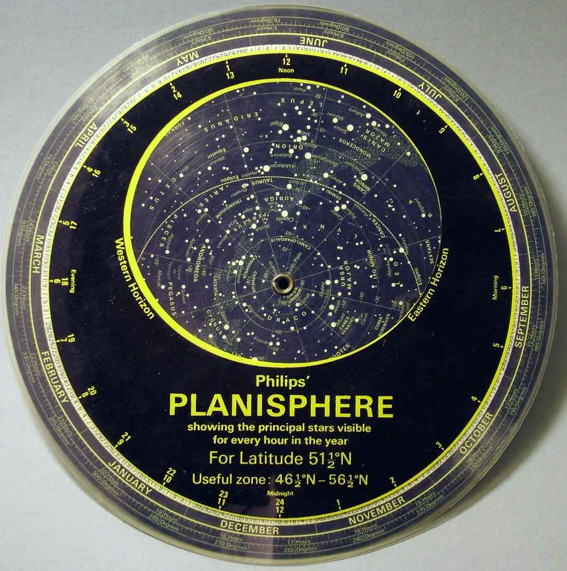
 A plastic planisphere.
A planisphere is a star chart analog computing instrument in the form of two adjustable disks that rotate on a common pivot. It can be adjusted to display the visible stars for any time and date. It is an instrument to assist in learning how to recognize stars and constellations. The astrolabe, an instrument that has its origins in the Hellenistic civilization, is a predecessor of the modern planisphere.
Contents
Summary description
A planisphere consists of a circular star chart attached at its center to an opaque circular overlay that has a clear elliptical window or hole so that only a portion of the sky map will be visible in the window or hole area at any given time. The chart and overlay are mounted so that they are free to rotate about a common pivot point at their centers. The star chart contains the brightest stars, constellations and (possibly) deep-sky objects visible from a particular latitude on Earth. The night sky that one sees from the Earth depends on whether the observer is in the northern or southern hemispheres and the latitude. A planisphere window is designed for a particular latitude and will be accurate enough for a certain band either side of that. Planisphere makers will usually offer them in a number of versions for different latitudes. Planispheres only show the stars visible from the observer's latitude; stars below the horizon are not included.
A complete twenty-four hour time cycle is marked on the rim of the overlay. A full twelve months of calendar dates are marked on the rim of the starchart. The window is marked to show the direction of the eastern and western horizons. The disk and overlay are adjusted so that the observer's local time of day on the overlay corresponds to that day's date on the star chart disc. The portion of the star chart visible in the window then represents (with a distortion because it is a flat surface representing a spherical surface) the distribution of stars in the sky at that moment for the planisphere's designed location. Some users hold the planisphere above their head with the eastern and western horizons correctly aligned to easily match up the chart to actual star positions.
History
The word planisphere (or planisferium) means "celestial plane", defined as the flat plane representation of the star-filled sky.
The instrument was first described in the early 11th century by the Muslim Persian astronomer, Abū Rayhān al-Bīrūnī.[1][2][verification needed]
The first star chart to have the name "planisphere" was made in 1624 by Jacob Bartsch. Bartsch was the son-in-law of Johannes Kepler, discoverer of Kepler's laws of planetary motion.
The star chart
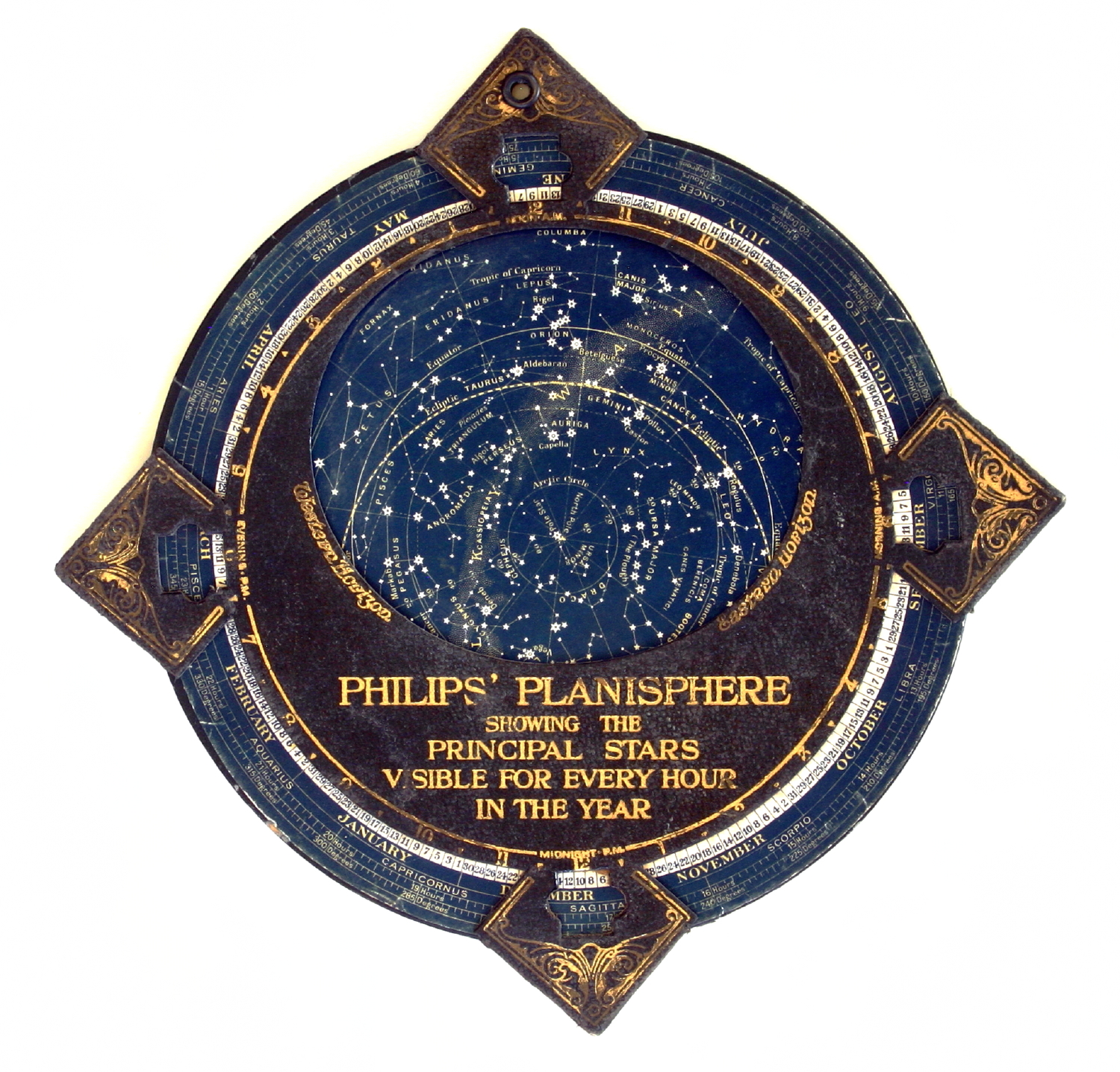
 Philips' Planisphere, ca. 1900
Since the planisphere shows the celestial sphere in a printed flat, there is always considerable distortion. Planispheres, like all charts, are made using a certain projection method. For planispheres there are two major methods in use, leaving the choice with the designer. One such method is the polar azimuthal equidistant projection. Using this projection the sky is charted centered on one of the celestial poles (polar), while circles of equal declination (for instance 60°, 30°, 0° (the celestial equator), -30°, and -60°) lie equidistant from each other and from the poles (equidistant). The shapes of the constellations are proportionally correct in a straight line from the centre outwards, but at right angles to this direction (parallel to the declination circles) there is considerable distortion. That distortion will be worse as the distance to the pole gets greater. If we study the famous constellation of Orion in this projection and compare this to the real Orion, we can clearly see this distortion. It is the only disadvantage of this projection.
The stereographic projection solves this problem while introducing another. Using this projection the distances between the declination circles are enlarged in such a way that the shapes of the constellations remain correct. Naturally in this projection the constellations on the edge become too large in comparison to constellations near the celestial pole: Orion will be twice as high as it should be! It is the same effect that makes Greenland so huge in Mercator charts. Another disadvantage is that, with more space for constellations near the edge of the planisphere, the space for the constellations around the celestial pole in question will be less than they deserve. For observers at moderate latitudes, who can see the sky near the celestial pole of their hemisphere better than that nearer the horizon, this may be a good reason to prefer a planisphere made with the polar azimuthal equidistant projection method.
The upper disc
The upper disc contains a "horizon", that defines the visible part of the sky at any given moment, which is naturally half of the total starry sky. That horizon line is most of the time also distorted, for the same reason the constellations are distorted. It has become a kind of "collapsed" oval. The horizon is designed for a particular latitude and thus determines the area for which a planisphere is meant. Some more expensive planispheres have several upper discs that can be exchanged, or have an upper disc with more horizon-lines, for different latitudes.
When a planisphere is used in a latitude zone other than the zone for which is was designed, the user will either see stars that are not in the planisphere, or the planisphere will show stars that are not visible in that latitude zone's sky. To study the starry sky thoroughly it may be necessary to buy a planisphere particularly for the area in question.
However, most of the time the part of the sky directly above the horizon will not show many stars, due to hills, woods, buildings or just because of the thickness of the atmosphere we look through. The lower 5° above the horizon in particular hardly shows any stars (let alone objects) except under the very best conditions. Therefore, a planisphere can fairly accurately be used from +5° to -5° of the design latitude. For example, a planisphere for 40° north can be used between 35° and 45° north.
Coordinates
Accurate planispheres somehow represent the celestial coordinates: right ascension and declination. The changing positions of planets, asteroids or comets in terms of these coordinates can be looked up in annual astronomical guides, and these enable planisphere users to find them in the sky.
Some planispheres use a separate pointer for the declination, using the same pivot point as the upper disc. Some planispheres have a declination feature printed on the upper disc, along the line connecting north and south on the horizon. Right ascension is represented on the edge, where the dates with which to set the planisphere are also found.
References
- ^ Will Durant (1950). The Story of Civilization IV: The Age of Faith, p. 239-45.
- ^ G. Wiet, V. Elisseeff, P. Wolff, J. Naudu (1975). History of Mankind, Vol 3: The Great medieval Civilisations, p. 649. George Allen & Unwin Ltd, UNESCO.
External links
- Bartsch, Jacob. Usus Astronomicus Planisphaerii Stellati, 1624. (Scans by Felice Stoppa.) The first cartographic use of the term planisphere.
- National Research Council Canada- Planisphere Downloadable PDF format planisphere for the Northern Hemisphere.
- Southern Star Wheel - customisable southern hemisphere planisphere
Categories:- Star atlases
- Navigational equipment
- Astronomy education
- Analog computers
Wikimedia Foundation. 2010.