- Tierra Blanca Mountains
-
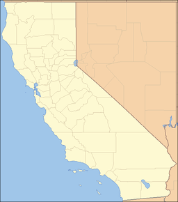
Tierra Blanca Mountains Mountain Range Country United States State California District San Diego County Coordinates 32°53′25.188″N 116°15′45.052″W / 32.89033°N 116.26251444°W Highest point - elevation 661 m (2,169 ft) Timezone Pacific (UTC-8) - summer (DST) PDT (UTC-7) Topo map USGS Agua Caliente Springs location of Tierra Blanca Mountains in California [1]The Tierra Blanca Mountains are located in San Diego County[1] in southern California between the Vallecito Mountains and the In-Ko-Pah Mountains. The range is located to the west of the community of Canebrake and the Carrizo Badlands.
References
Categories:- Mountain ranges of Southern California
- Mountain ranges of San Diego County, California
- San Diego County, California geography stubs
Wikimedia Foundation. 2010.

