- Nibbixwoud
-
Nibbixwoud — Village — Nibbixwoud
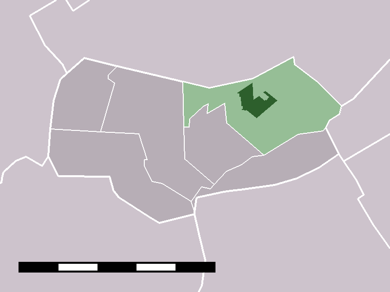
 The village centre (darkgreen) and the statistical district (lightgreen) of Nibbixwoud in the municipality of Wognum.
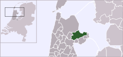
Coordinates: 52°41′34″N 5°3′19″E / 52.69278°N 5.05528°ECoordinates: 52°41′34″N 5°3′19″E / 52.69278°N 5.05528°E Country Netherlands Province North Holland Municipality Medemblik Population (2004) – Total 2,330 Time zone CET (UTC+1) – Summer (DST) CEST (UTC+2) Postal code Nibbixwoud is a village in the Dutch province of North Holland. It is a part of the municipality of Medemblik, and lies about 9 km north of Hoorn.
Nibbixwoud was a separate municipality until 1979, when it was merged with Wognum.[1]
In 2001, the village of Nibbixwoud had 1572 inhabitants. The built-up area of the village was 0.32 km², and contained 601 residences.[2] The statistical district "Nibbixwoud and Wijzend", which covers the two villages and the surrounding countryside, has a population of around 2340.[3]
-

Nibbixwoud
-

Kerk en Cultureel Centrum 'Bessie'
-

De St. Cunerakerk
References
- ^ Ad van der Meer and Onno Boonstra, Repertorium van Nederlandse gemeenten, KNAW, 2006.
- ^ Statistics Netherlands (CBS), Bevolkingskernen in Nederland 2001 [1]. Statistics are for the continuous built-up area.
- ^ Statistics Netherlands (CBS), Statline: Kerncijfers wijken en buurten 2003-2005 [2]. As of 1 January 2005.
External links
- J. Kuyper, Gemeente Atlas van Nederland, 1865-1870, "Nibbixwoud". Map of the former municipality, around 1868.
- People of Nibbixwoud on Familypedia.
Categories:- Populated places in North Holland
- Former municipalities of North Holland
- North Holland geography stubs
-


Wikimedia Foundation. 2010.