- Kula, Turkey
Infobox Settlement
settlement_type = Town
subdivision_type = Country
subdivision_name = TUR
timezone=EET
utc_offset=+2
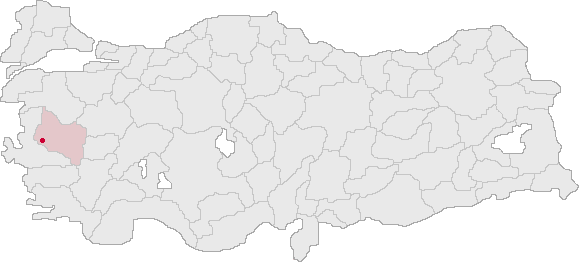
map_caption =Location of PAGENAME within Turkey.
timezone_DST=EEST
utc_offset_DST=+3
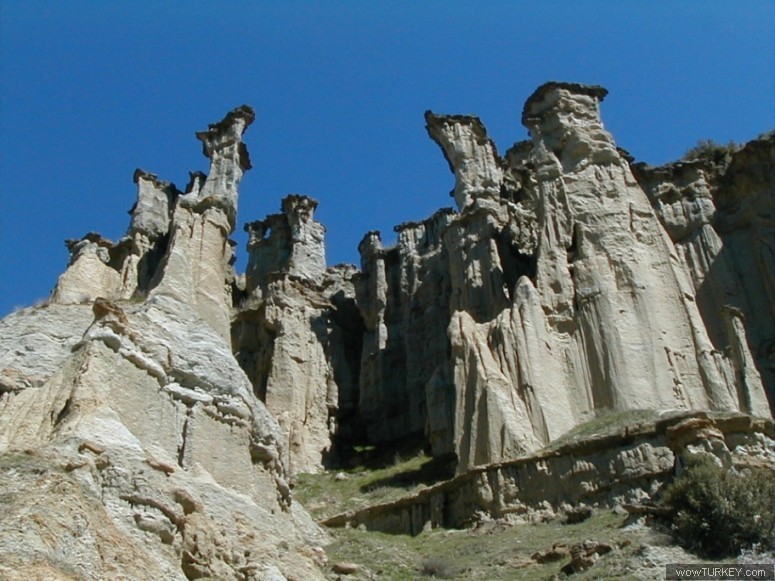
image_caption = Rock formations near Kula
image_blank_emblem =
blank_emblem_type =
subdivision_type1=Region
subdivision_name1 = Aegean
subdivision_type2=Province
subdivision_name2 = İzmirpopulation_total =
population_as_of =
population_footnotes =
population_density_km2 =
area_total_km2 =
elevation_m =
latd =
latm =
latNS =
longd =
longm =
longEW =
postal_code =
area_code =
blank_info =
leader_name =
website = [http://www.kula.bel.tr/ http://www.kula.bel.tr/]
province website=Kula is a town and a district of
Manisa Province ofTurkey . It is renowned for the cone-shapedvolcanic rock formations, numbering at about eighty, in the nearby Yanıkyöre (literally "the burnt land") area, prompting some observers to call the region theCappadocia of Turkey's Aegean region.
Wikimedia Foundation. 2010.

