- Arzl im Pitztal
-
Arzl im Pitztal 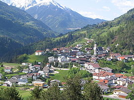

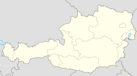
 Arzl im PitztalLocation in the district
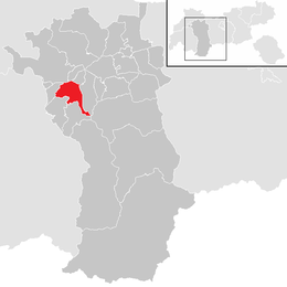
Country Austria State Tyrol District Imst Mayor Siegfried Neururer Area 29.37 km2 (11 sq mi) Elevation 880 m (2887 ft) Population 2,969 (1 January 2011)[1] - Density 101 /km² (262 /sq mi) Time zone CET/CEST (UTC+1/+2) Licence plate IM Postal code 6471 Area code 05412 Website www.arzl-pitztal.tirol.gv.at Arzl im Pitztal is a municipality in the district (Bezirk) Imst, Tyrol, Austria. It is located at an elevation of 883 m, with a population of about 2,900. The city of Imst lies 3 km north of the location. The name Arzl probably comes from the word „arcella“, which means „small castle“. The Pitze River flows through the village. The famous Benjamin Raich comes from the village.
References
External links
Arzl im Pitztal · Haiming · Imst · Imsterberg · Jerzens · Karres · Karrösten · Längenfeld · Mieming · Mils bei Imst · Mötz · Nassereith · Obsteig · Oetz · Rietz · Roppen · Sankt Leonhard im Pitztal · Sautens · Silz · Sölden · Stams · Tarrenz · Umhausen · Wenns
Categories:- Cities and towns in Tyrol
- Tyrol geography stubs


Wikimedia Foundation. 2010.